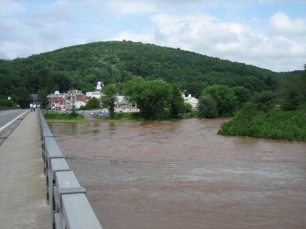
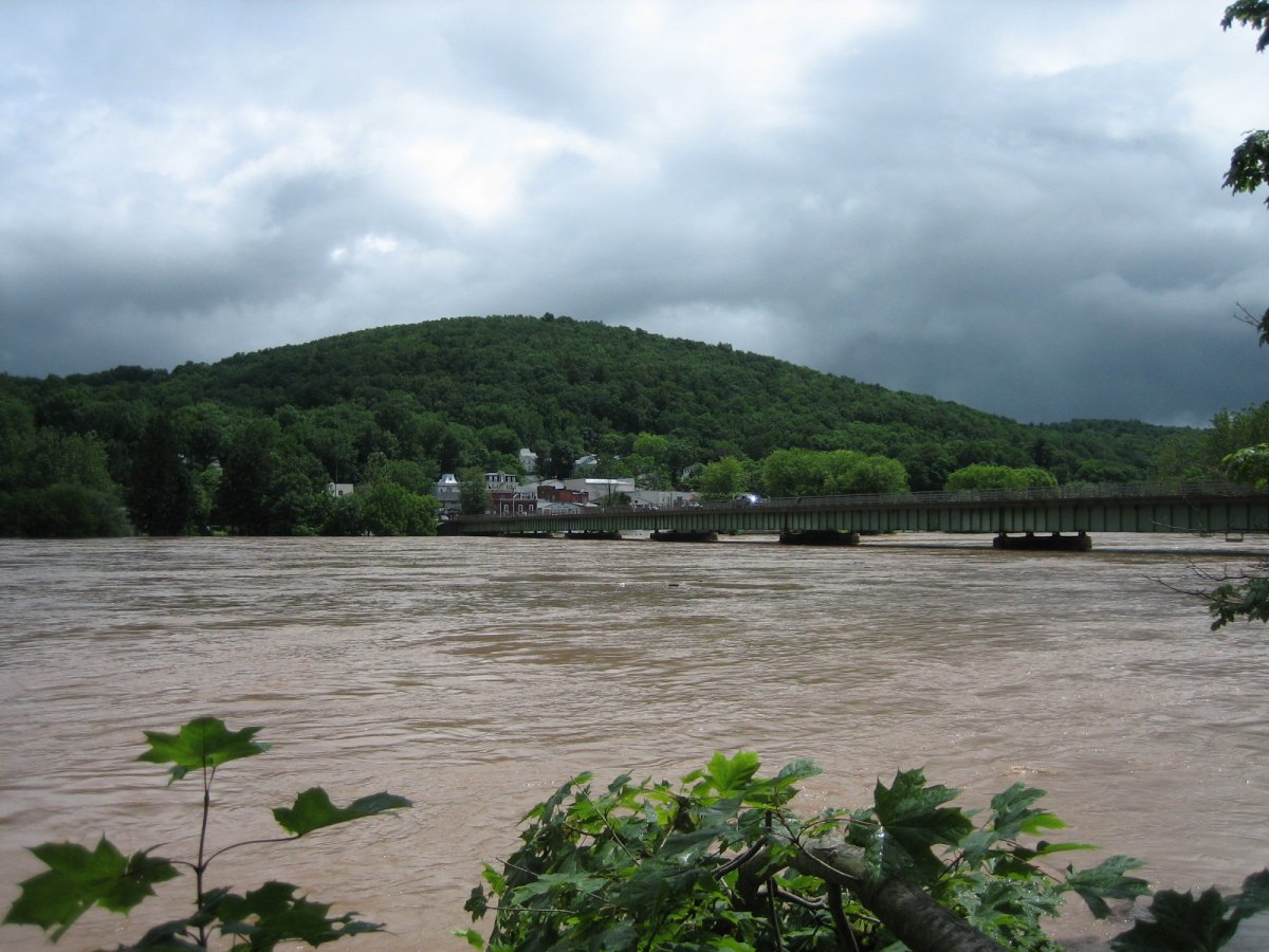
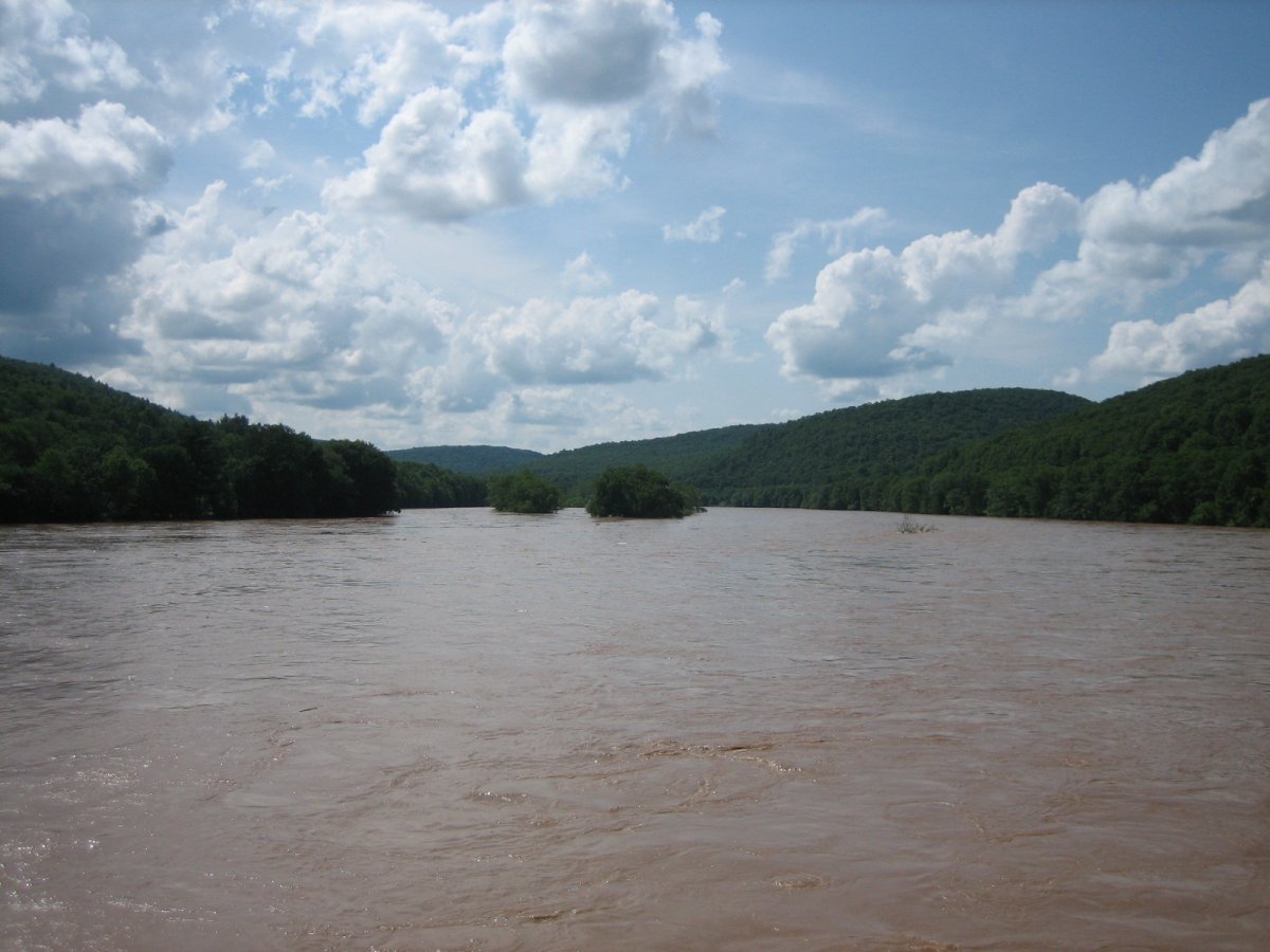
June 26

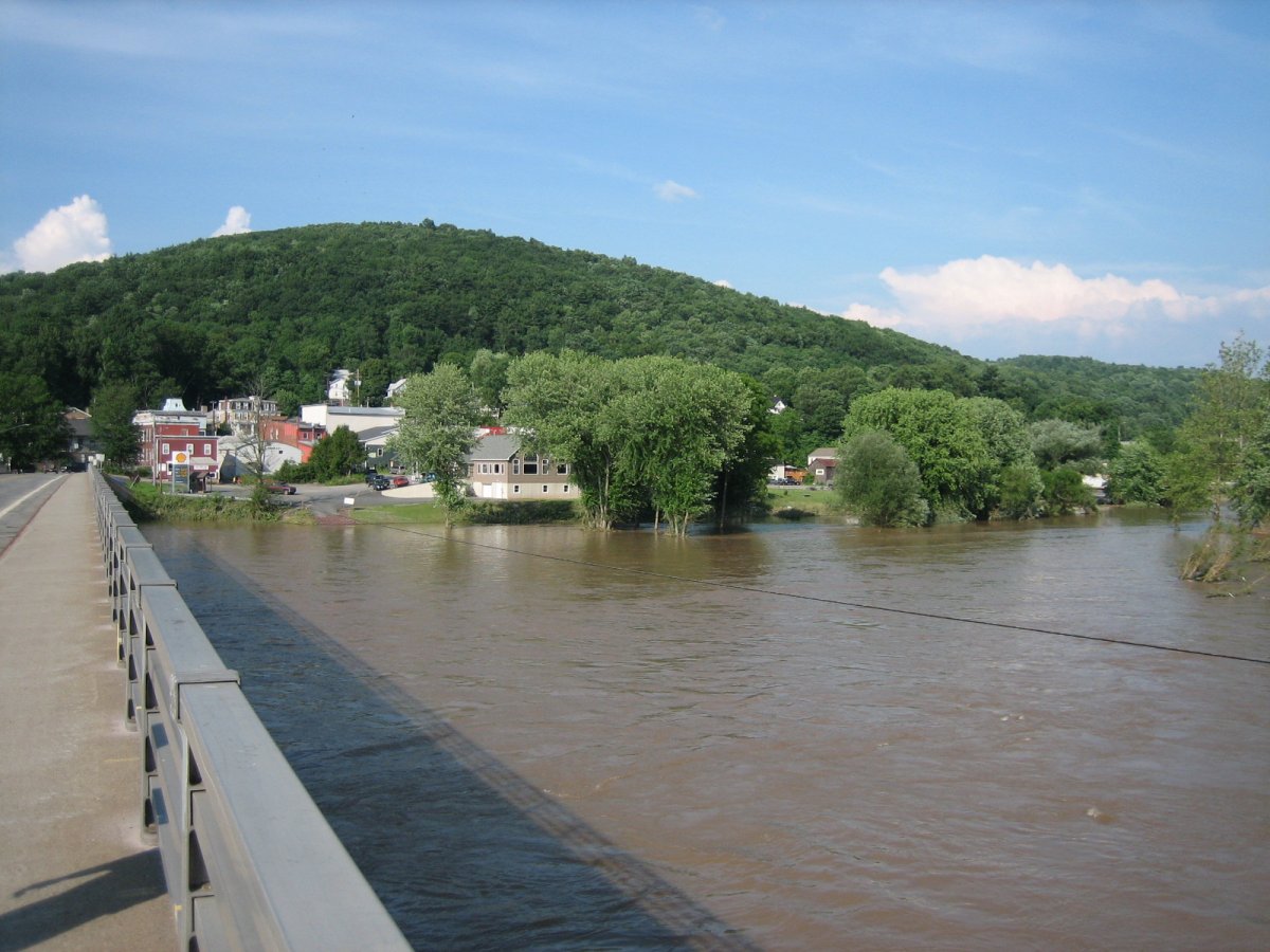
North, 2:39PM. From the PA end of the bridge.
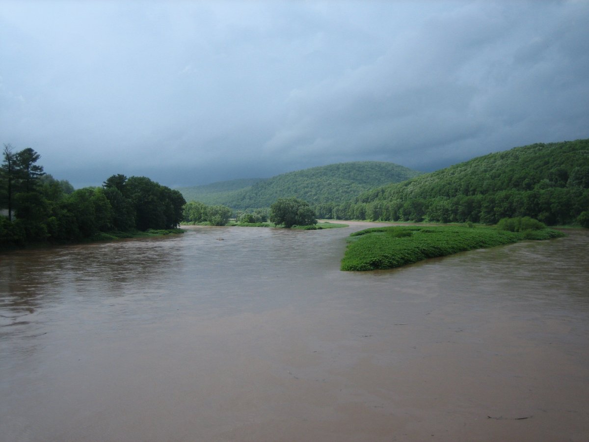
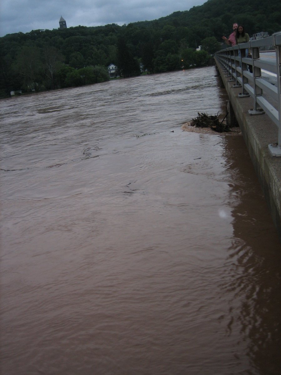
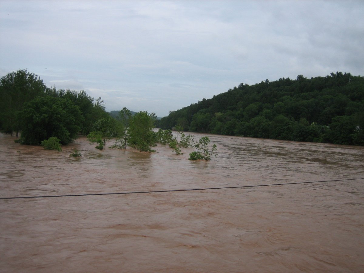
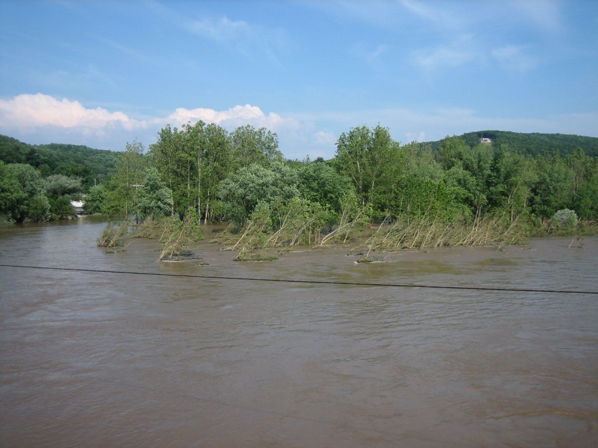
Northeast, 2:39PM. From about one-third of the way across the bridge.
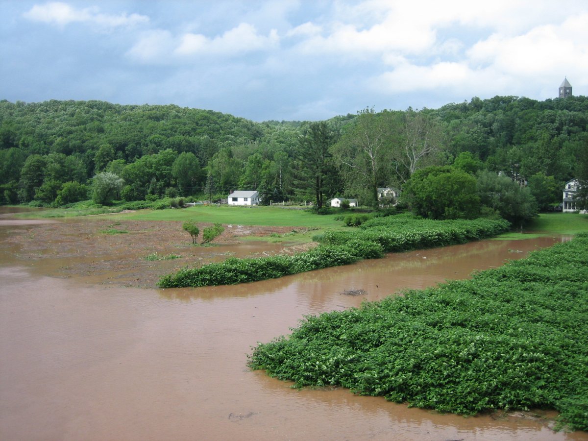
Northwest, 2:40PM. From about one-third of the way across the bridge. I also uploaded this one to DeviantArt, here.
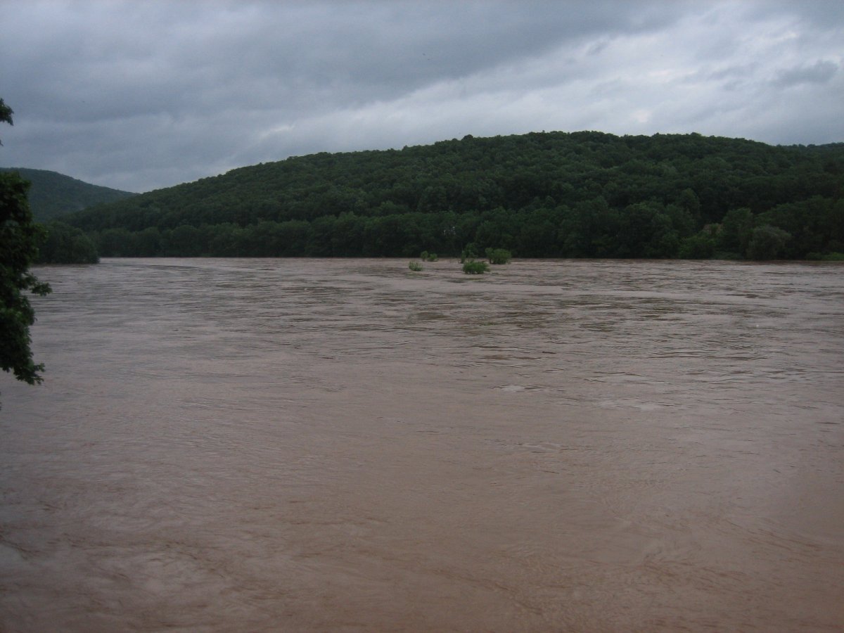
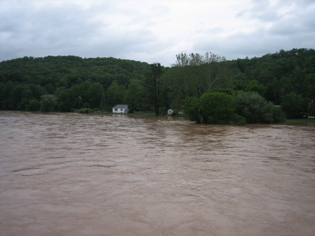
North, 2:41PM. From about halfway across the bridge. I also uploaded this one to DeviantArt, here.

West, 2:43PM. From about two-thirds of the way across the bridge. I also uploaded this one to DeviantArt, here.
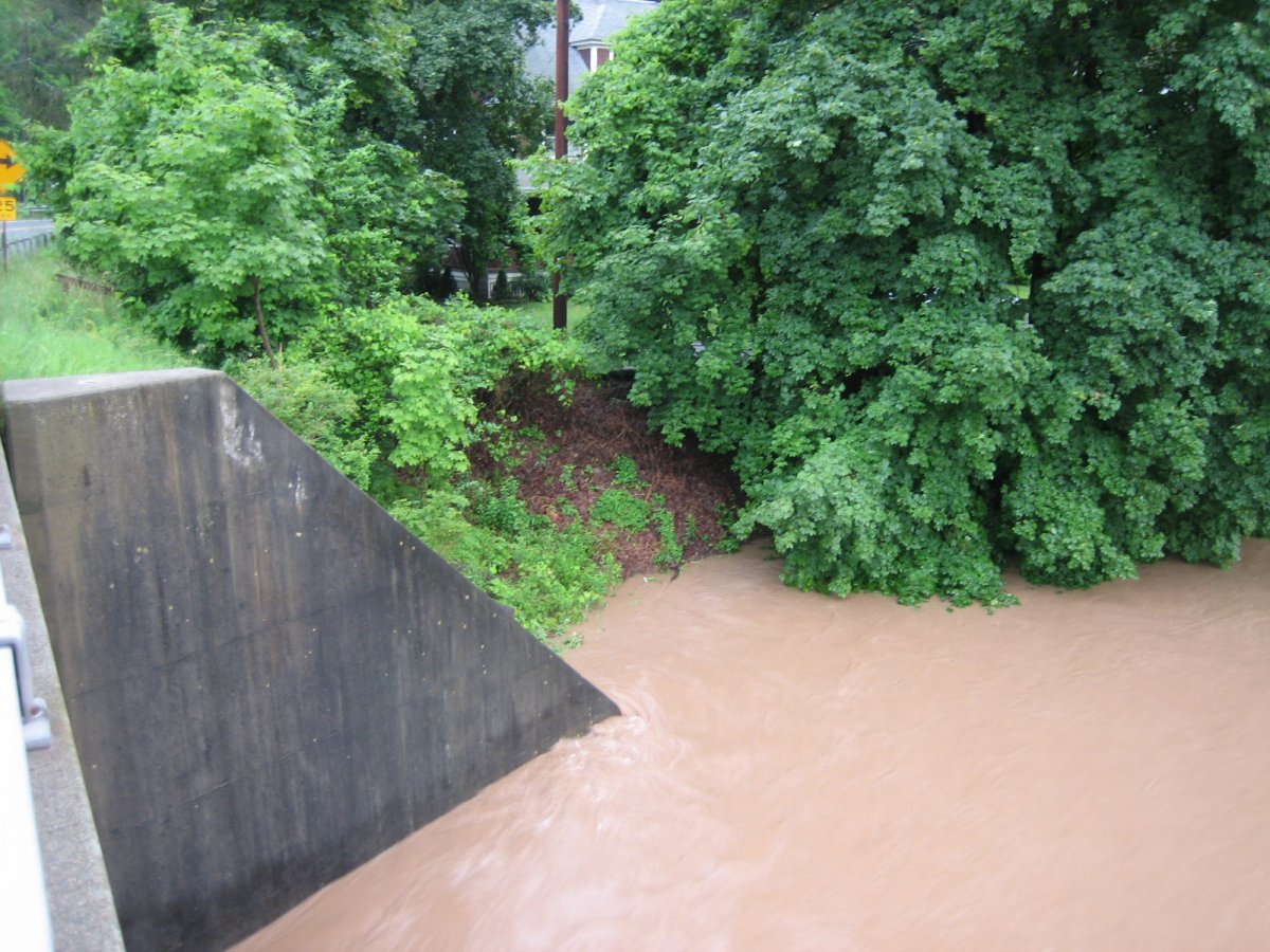
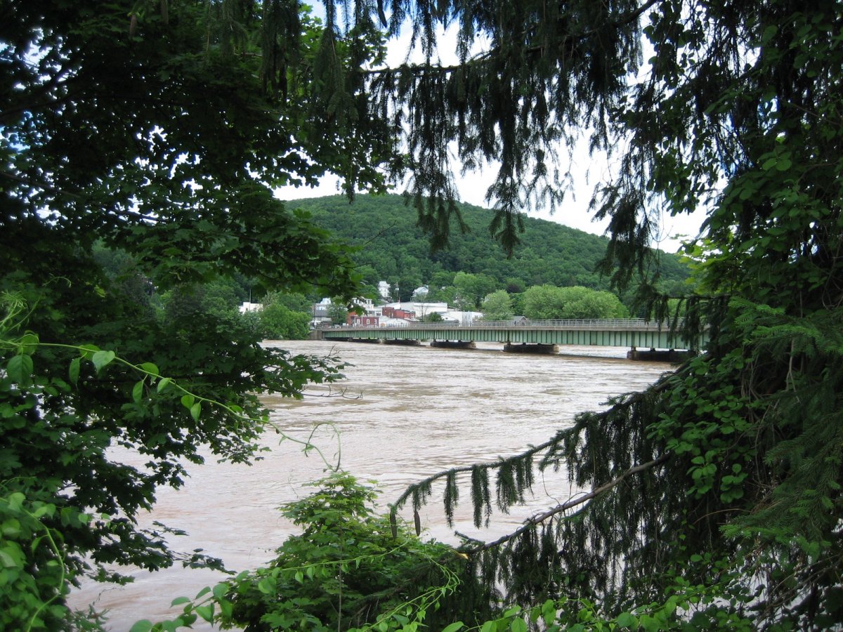
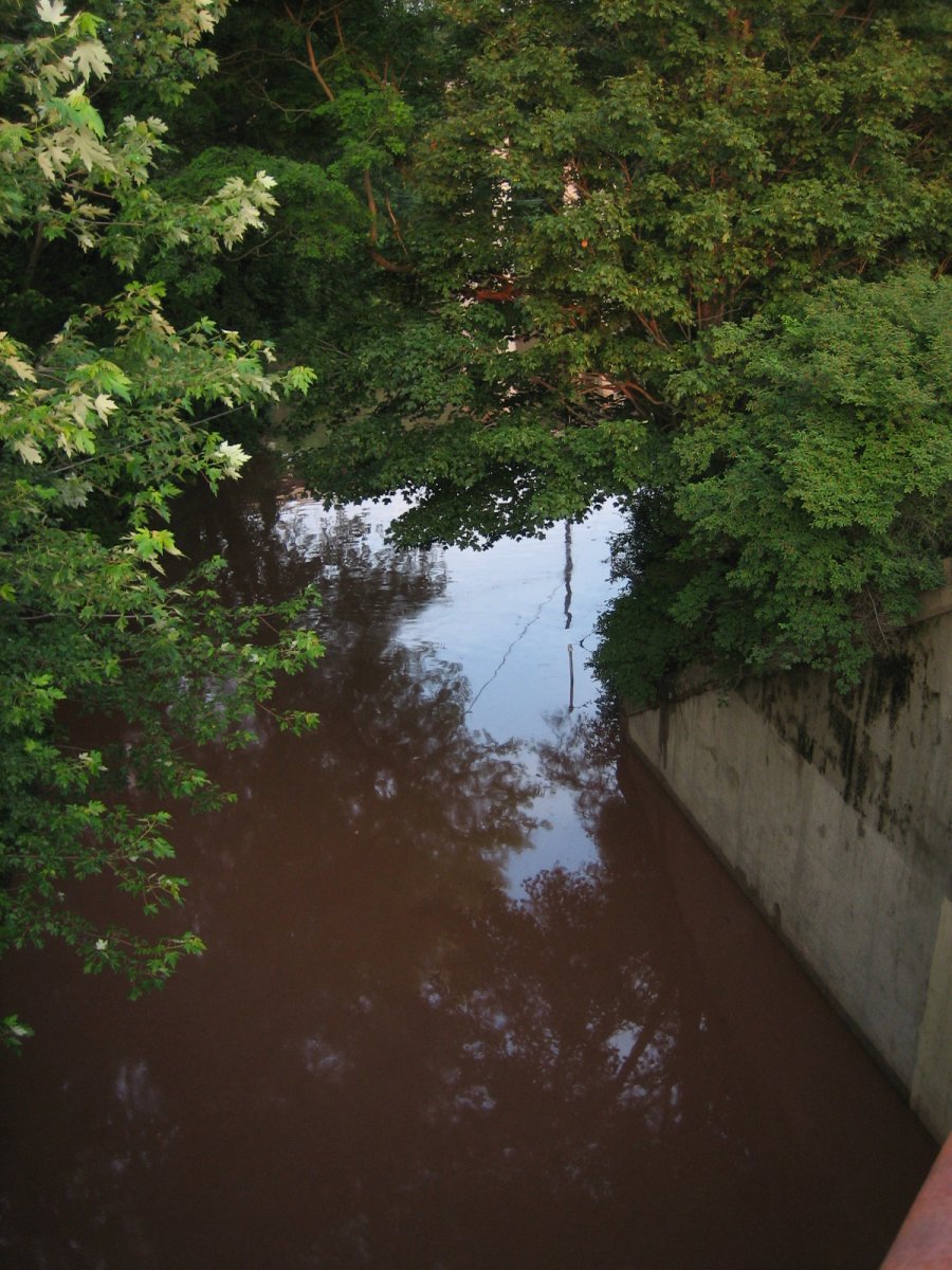
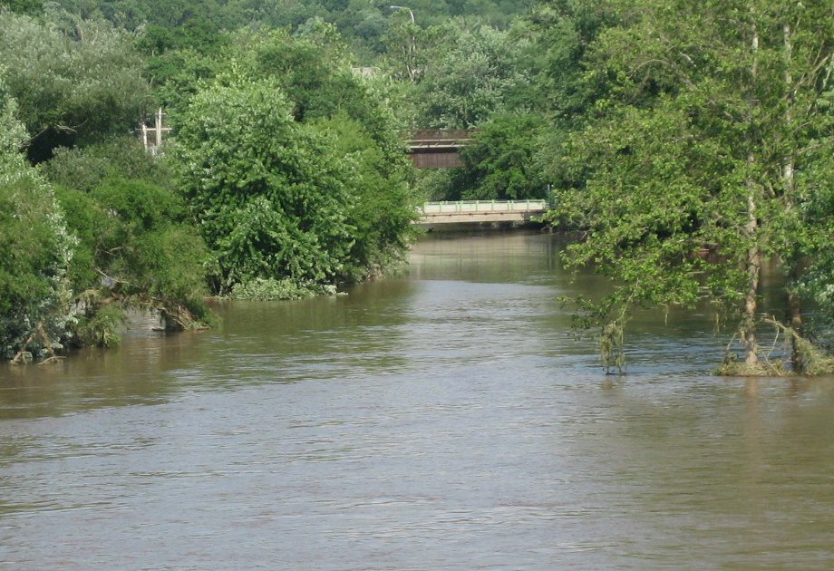
I also uploaded one photo of Callicoon Creek, taken on the main street bridge. It's here.
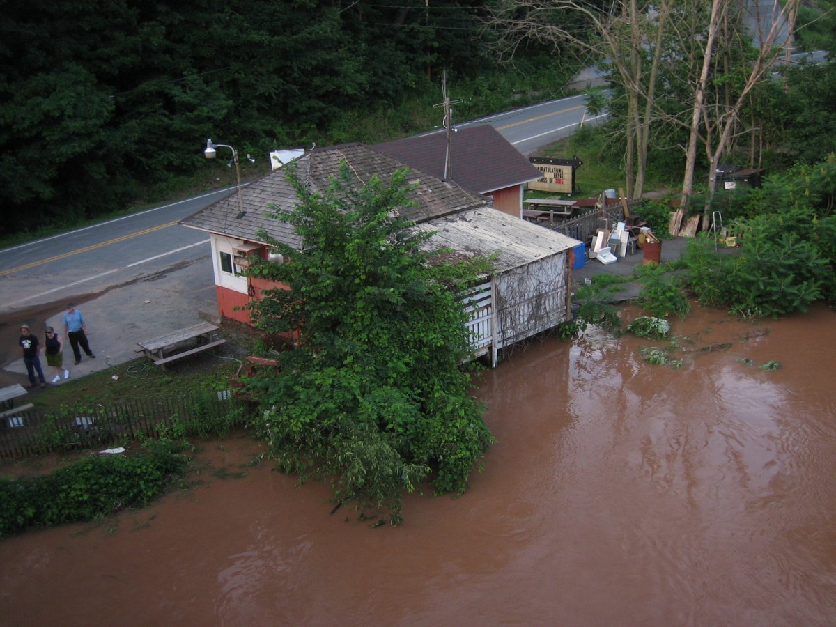
"Don't worry," I told my friends. "It's not worth any worry until Lander's field goes underwater."
June 27
North, 7:16PM. From the PA end of the bridge.
North-north-east, 7:17PM. Leaning my camera over the side to get a shot of the detritus piling up on the pier that gets most of the flow. (Also, neighbors. Not in the flow.)
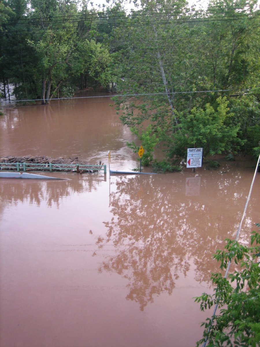
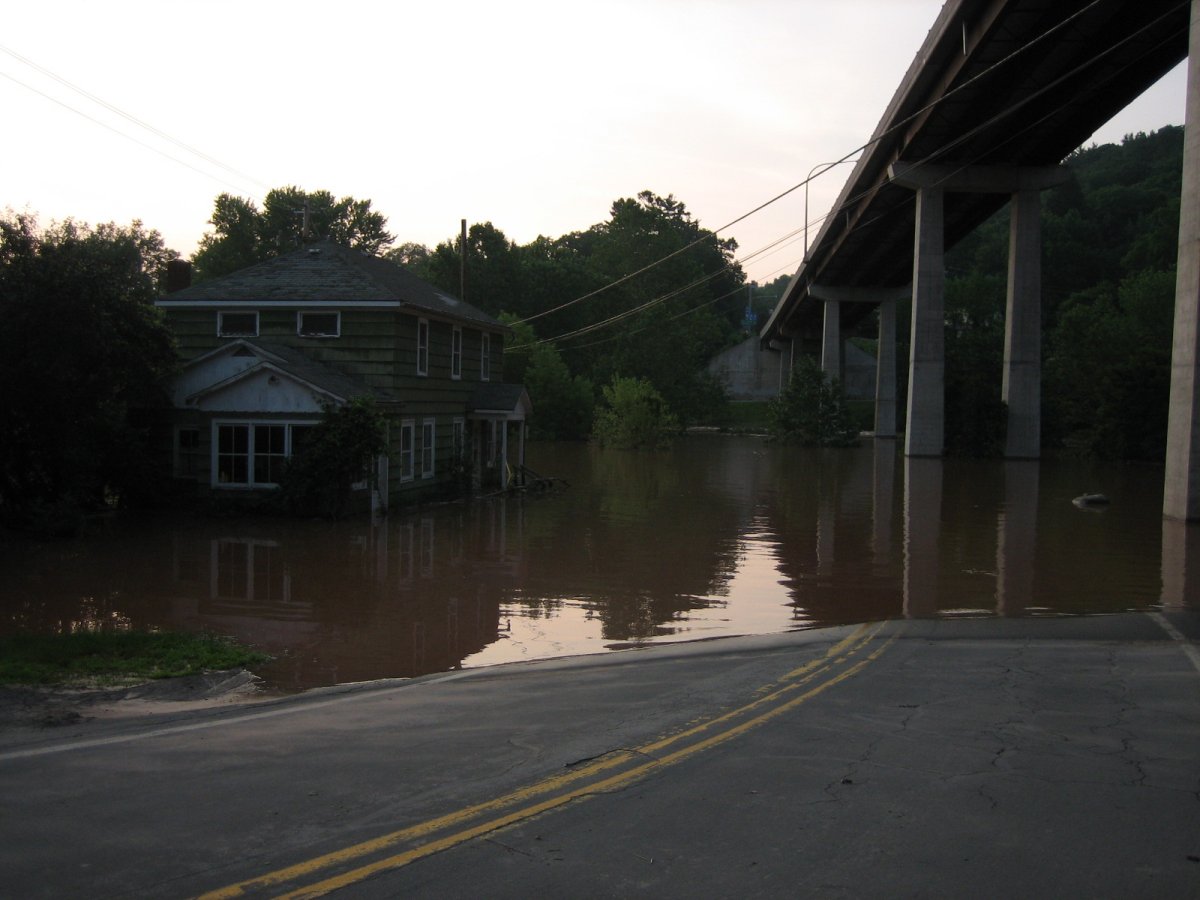
Southwest, 7:17PM. It's over the retaining wall that's meant to keep the river from washing away the dirt below the road. It's currently about uh... 8 feet from the road there? Not sure.
West, 7:19PM.
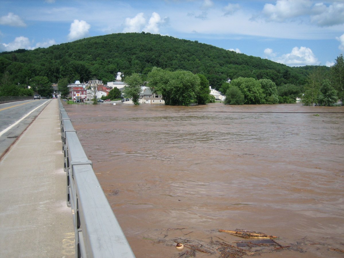
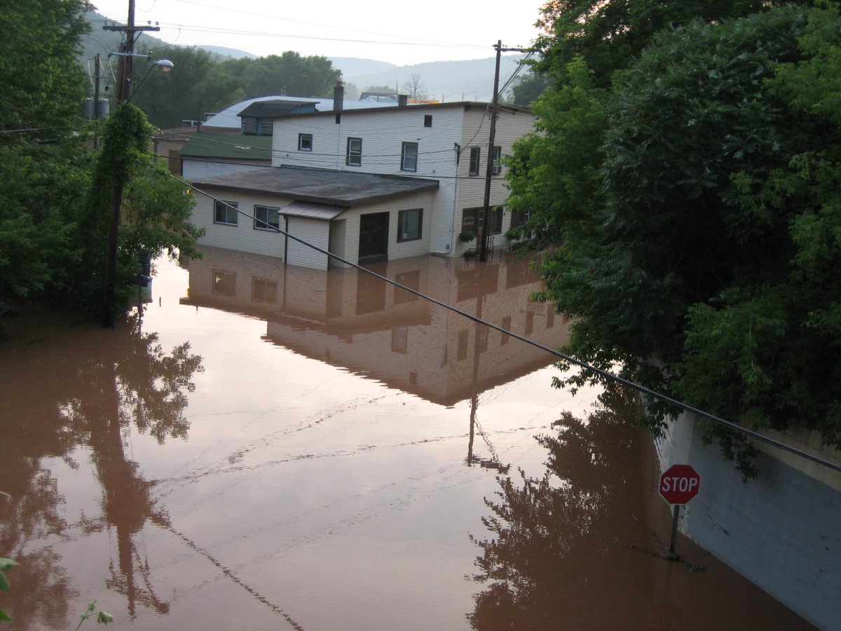
Northeast, 7:20PM. Excuse me while I eat yesterday's words.
Southeast, 7:20PM.
I took two videos here, one downstream and one upstream. Both videos are hosted on YouTube.
North, 7:21PM.

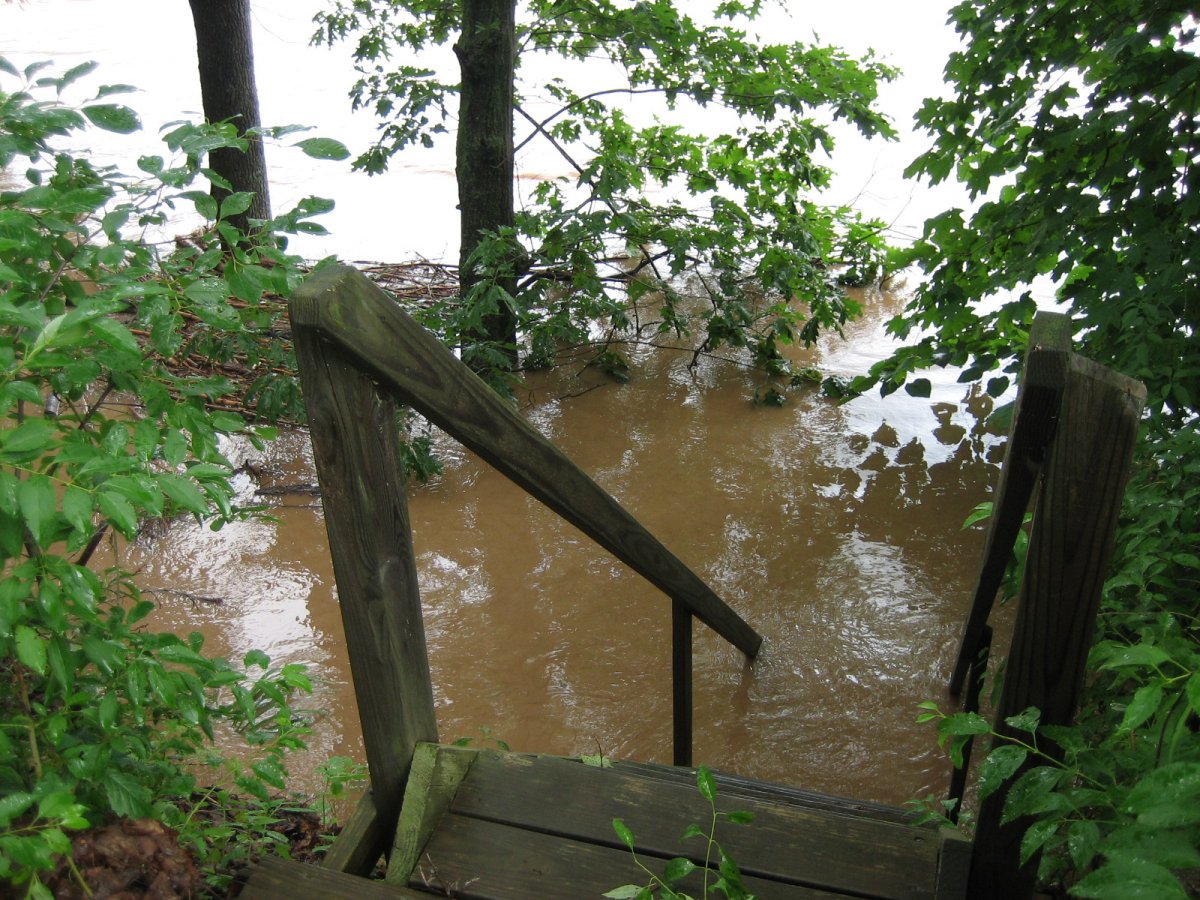
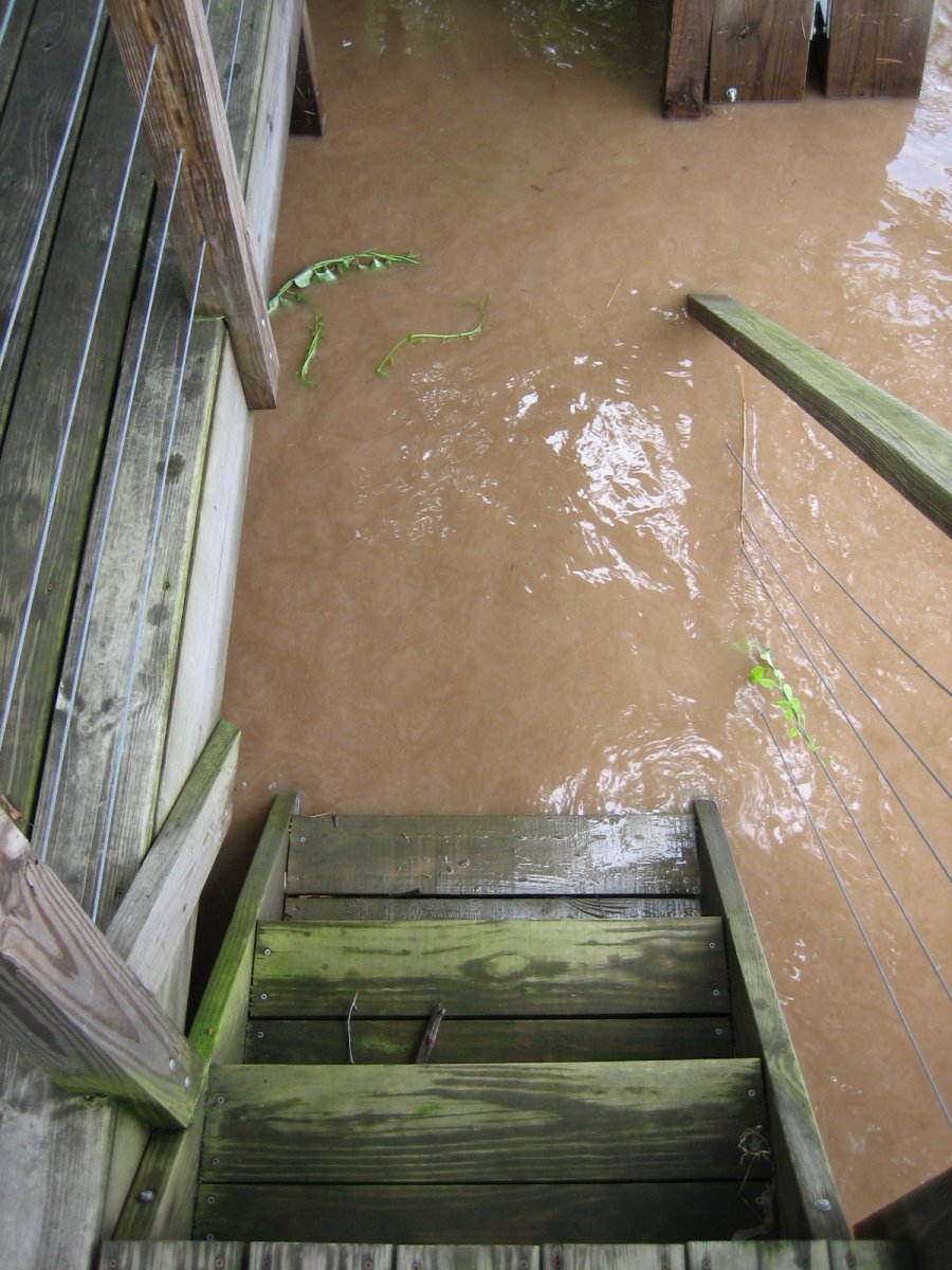
7:52PM. This is "our" Deck-ometer. It's the stairs of the next-door neighbors' riverside deck. My dad helped to build it, and whenever it floods, we use it to see how the water is rising. Here, it's just barely on the eighth step from the top.
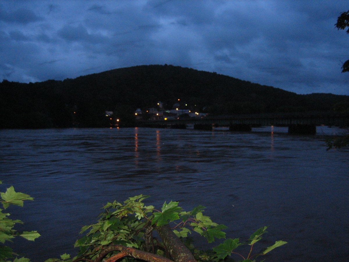
Deck, 7:54PM. Another shot from the deck, this time looking over at Callicoon. It's a really nice view, and I tried to get a night shot. The photo isn't awesome quality, but I think it's pretty so here it is.
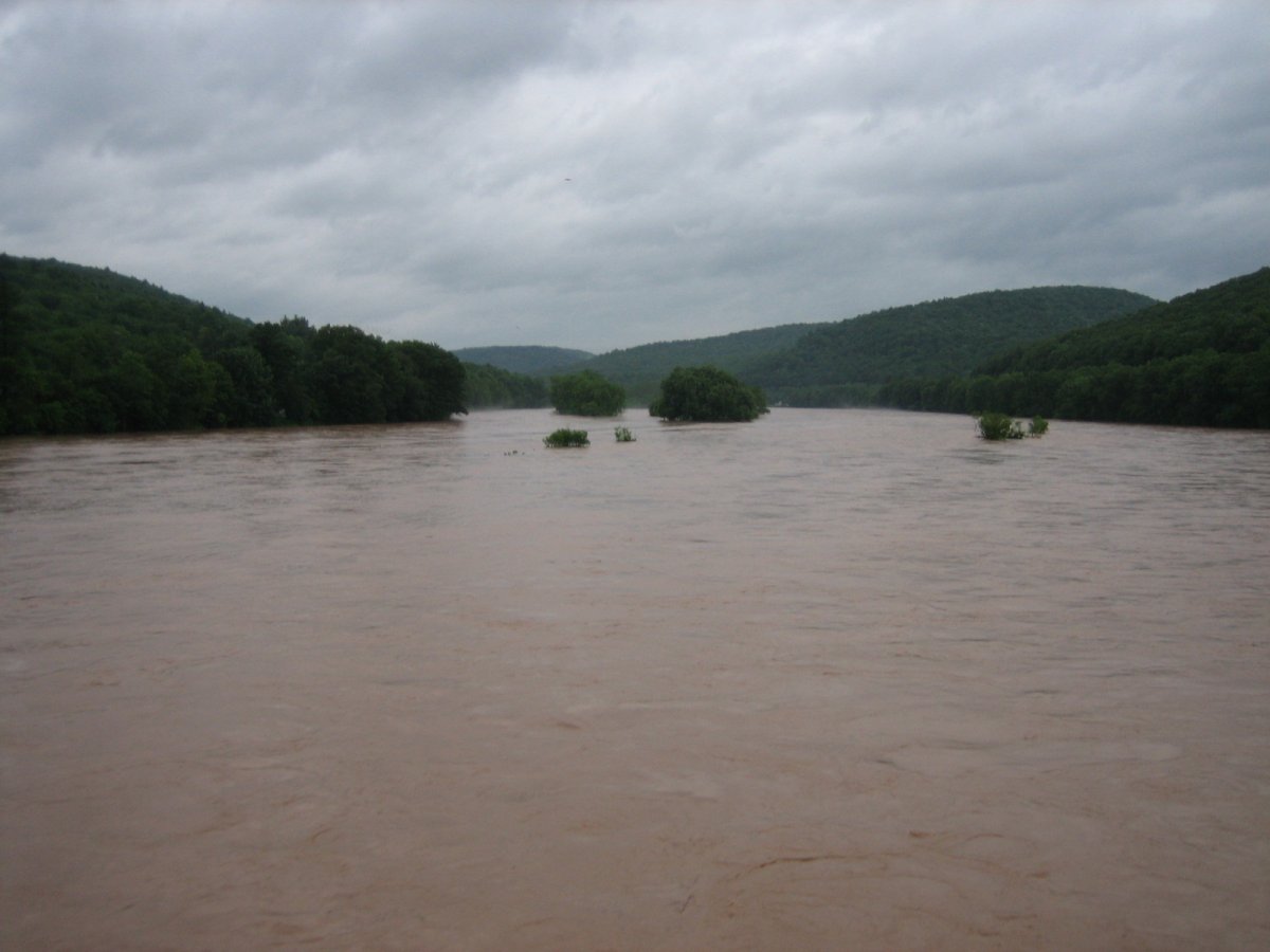
"Well, uh," I say, "It's not /really/ bad until you can't see the islands nor the trees on them!"
June 28

Deck, 10:21AM. The water is a little higher than it was last night. >_>

Deck, 10:21AM. THAT WATER IS ENTIRELY TOO CLOSE TO MY FEET. D:
North, Deck, 10:22AM. Wet trees.
Northeast, Deck, 10:22AM. Look closely and you'll find an overturned boat floating down.

Deck, 10:22AM. Wetter trees.
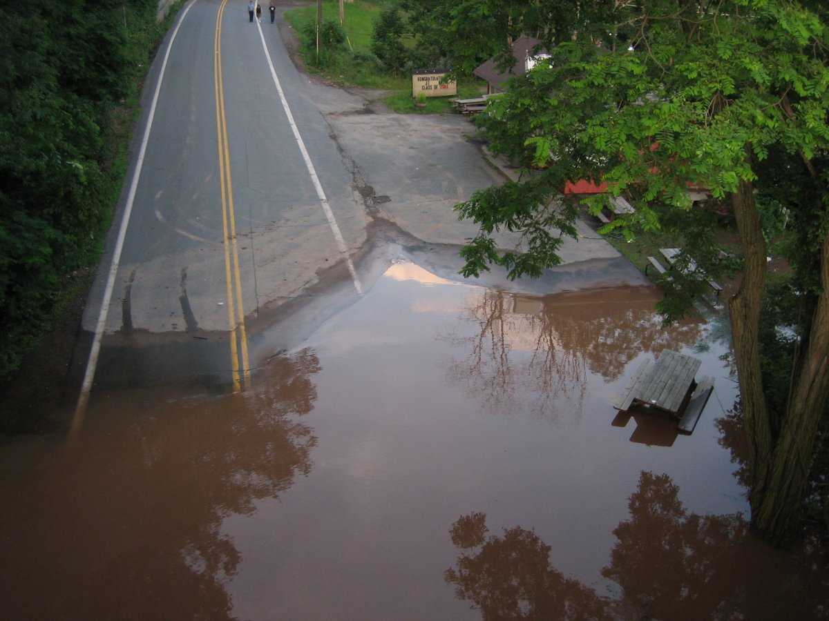
Delaware Avenue, 10:23AM.
Delaware Avenue, 10:25AM. Stairs to nowhere!
Delaware Avenue, 10:26AM.
Delaware Avenue, 10:26AM.
Delaware Avenue, 10:28AM. Slightly different pic uploaded to DeviantArt here.

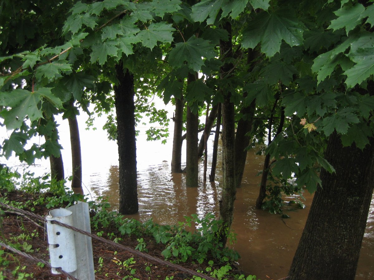
Delaware Avenue, 10:30AM. Island, what island? That huge tree is a giant maple on the edge of said island, by the way.
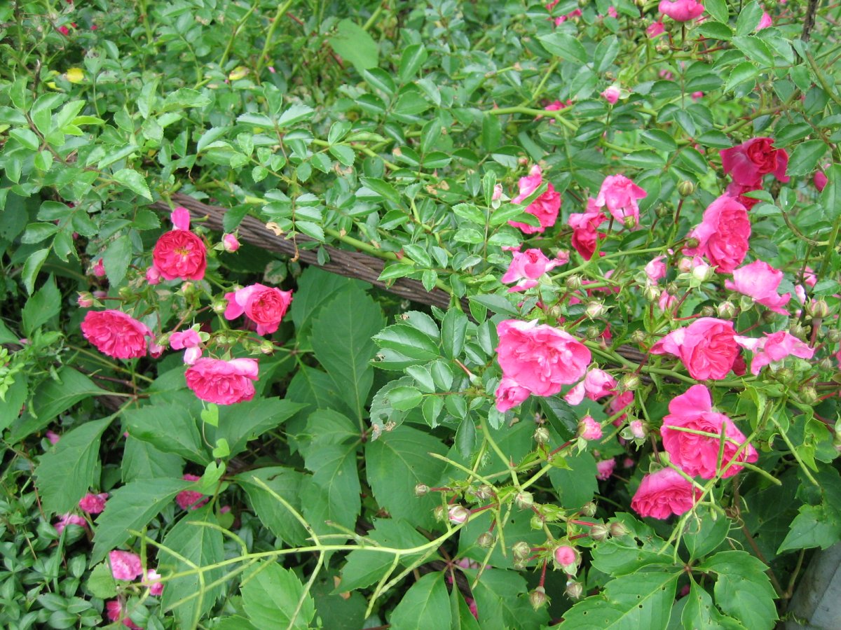
Delaware Avenue, 10:31AM. Neighbor's roses. ^^
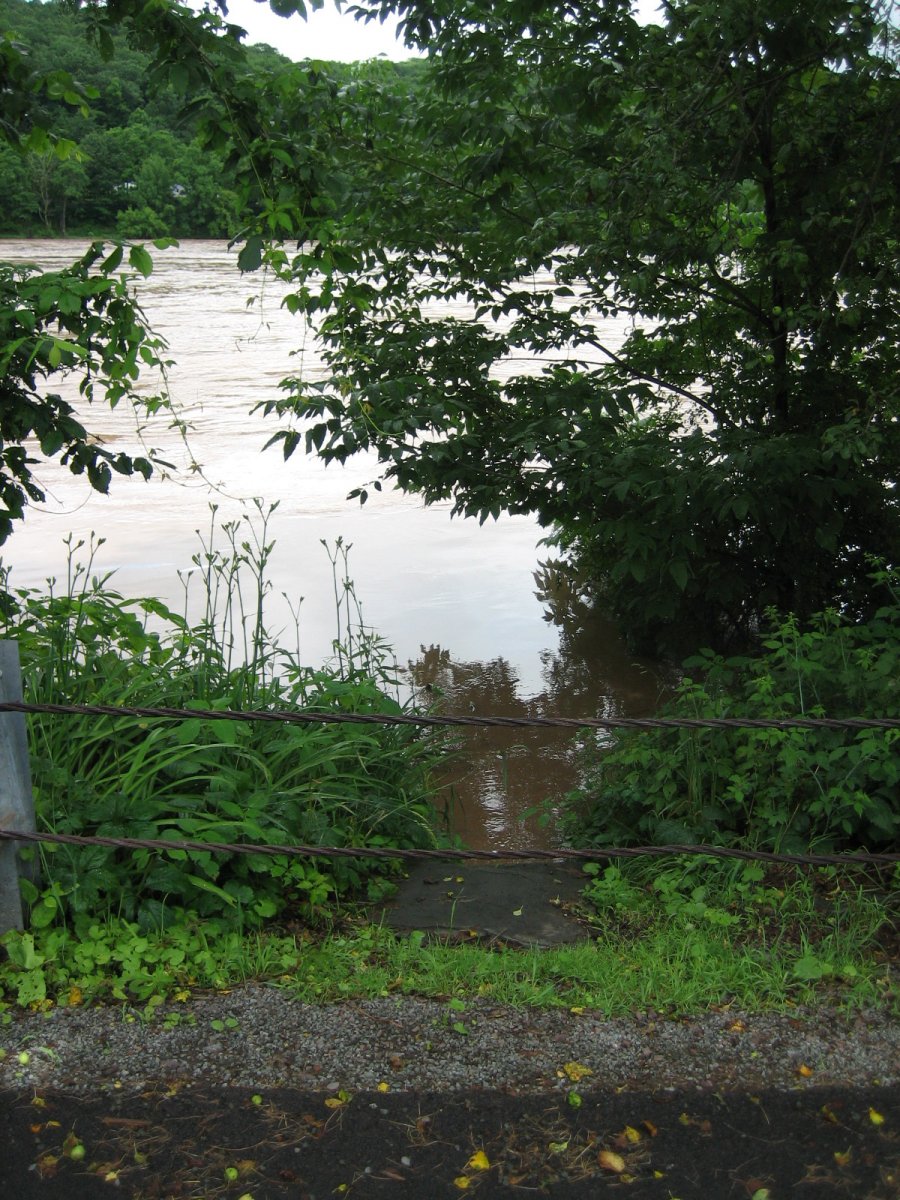
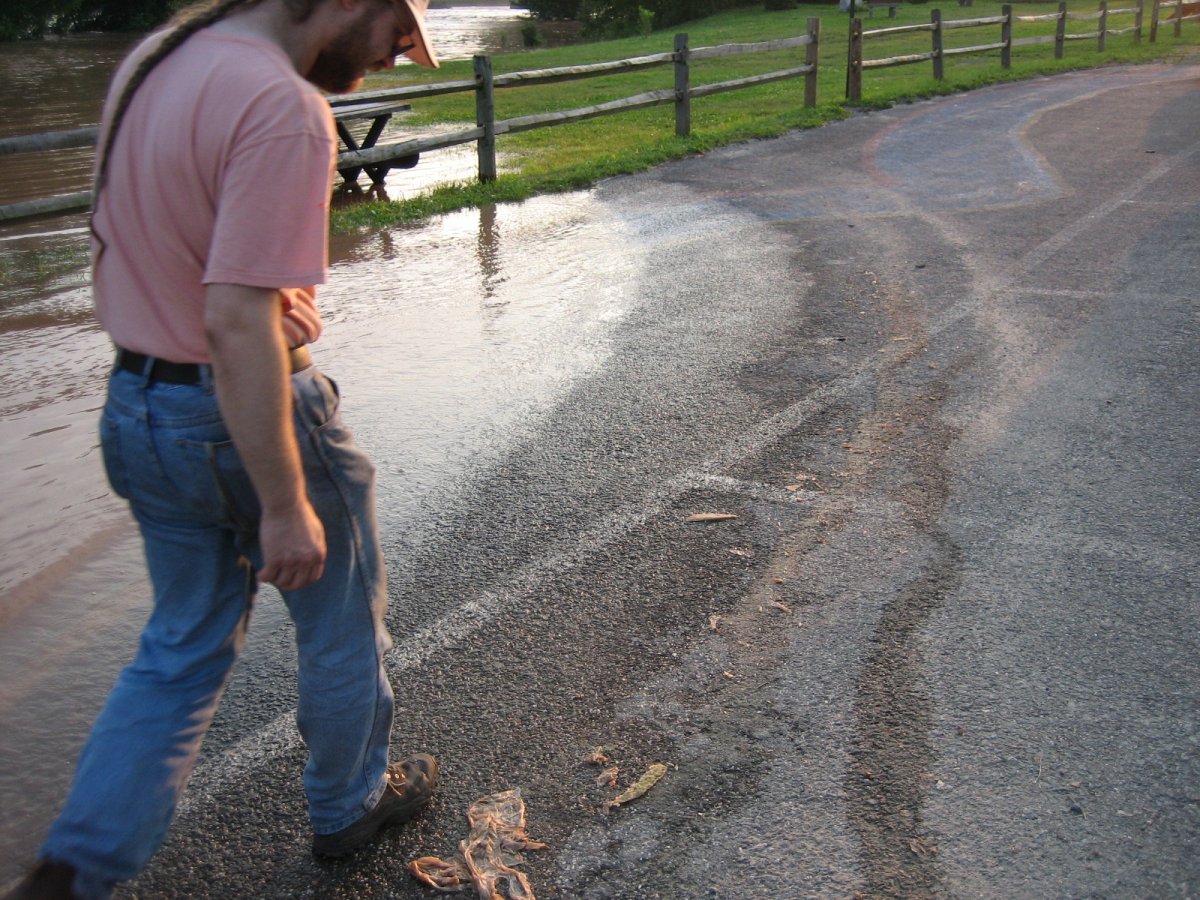
Delaware Avenue, 10:33AM. This is the lowest spot on the road, and the river is slightly above it here; it /was/ higher at one point, though.
Here's a video of that spot on YouTube.
Deck-ometer, 11:27AM. It went down a stair!
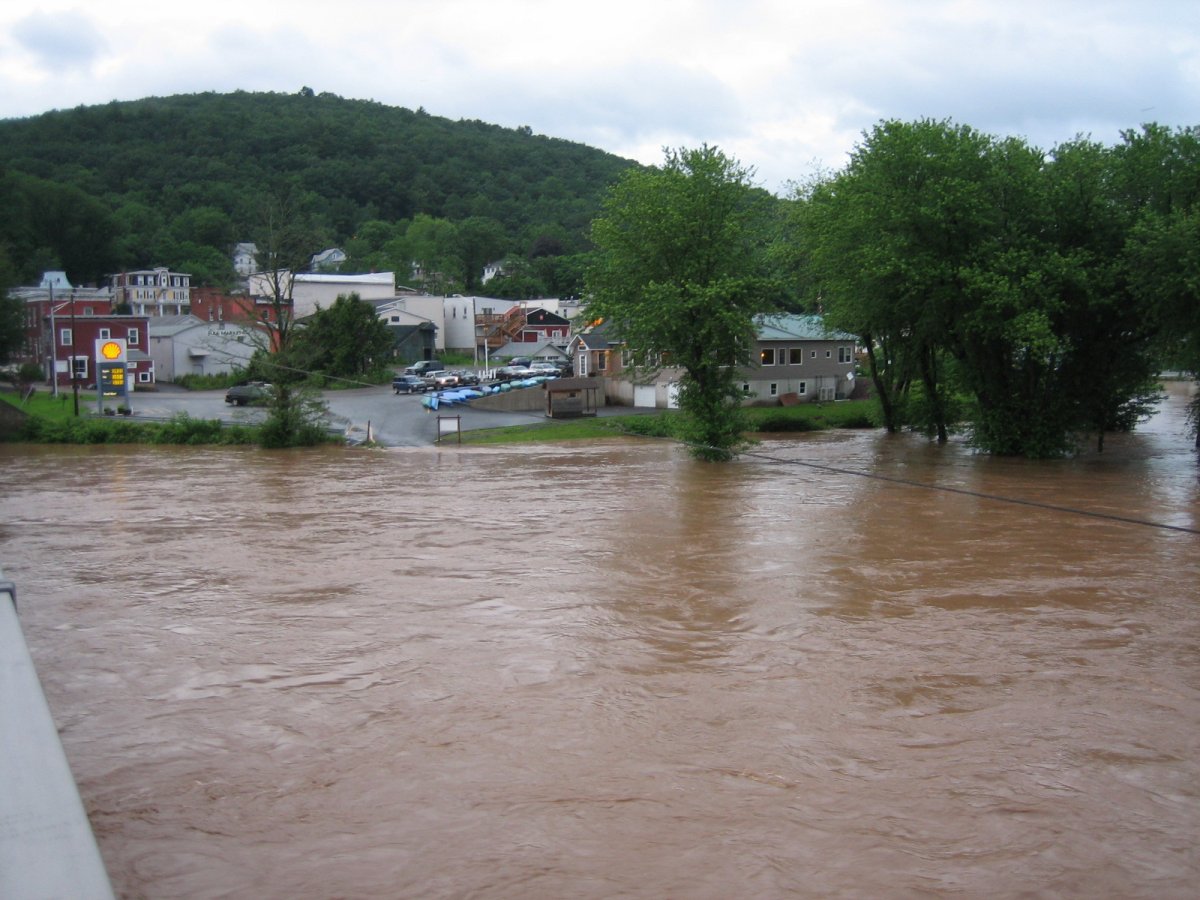
Northeast, from Delaware Avenue, 11:28AM. My, Callicoon, you're looking damp today.
A photo with normal water levels from almost the same vantage point is uploaded to DeviantArt here.

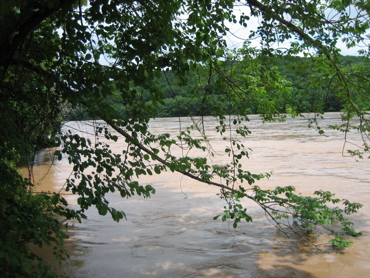
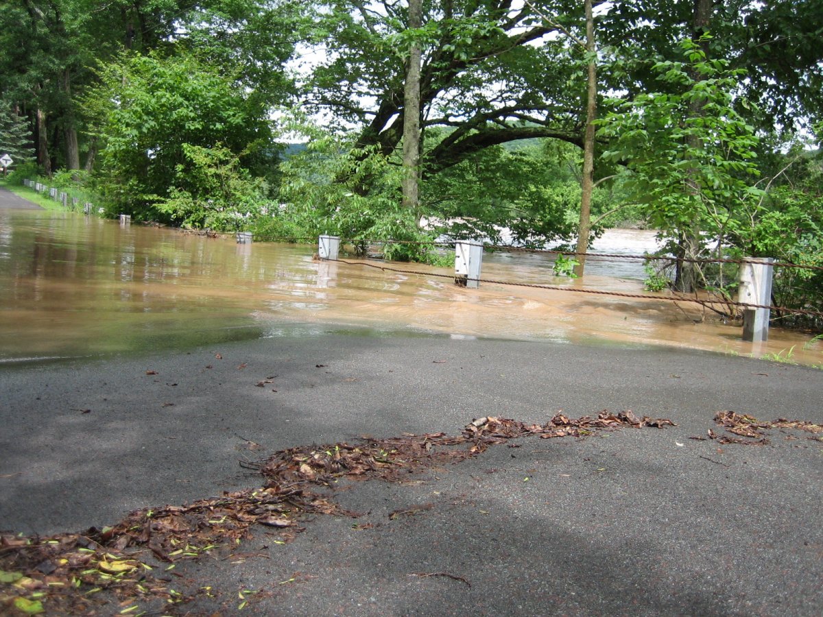
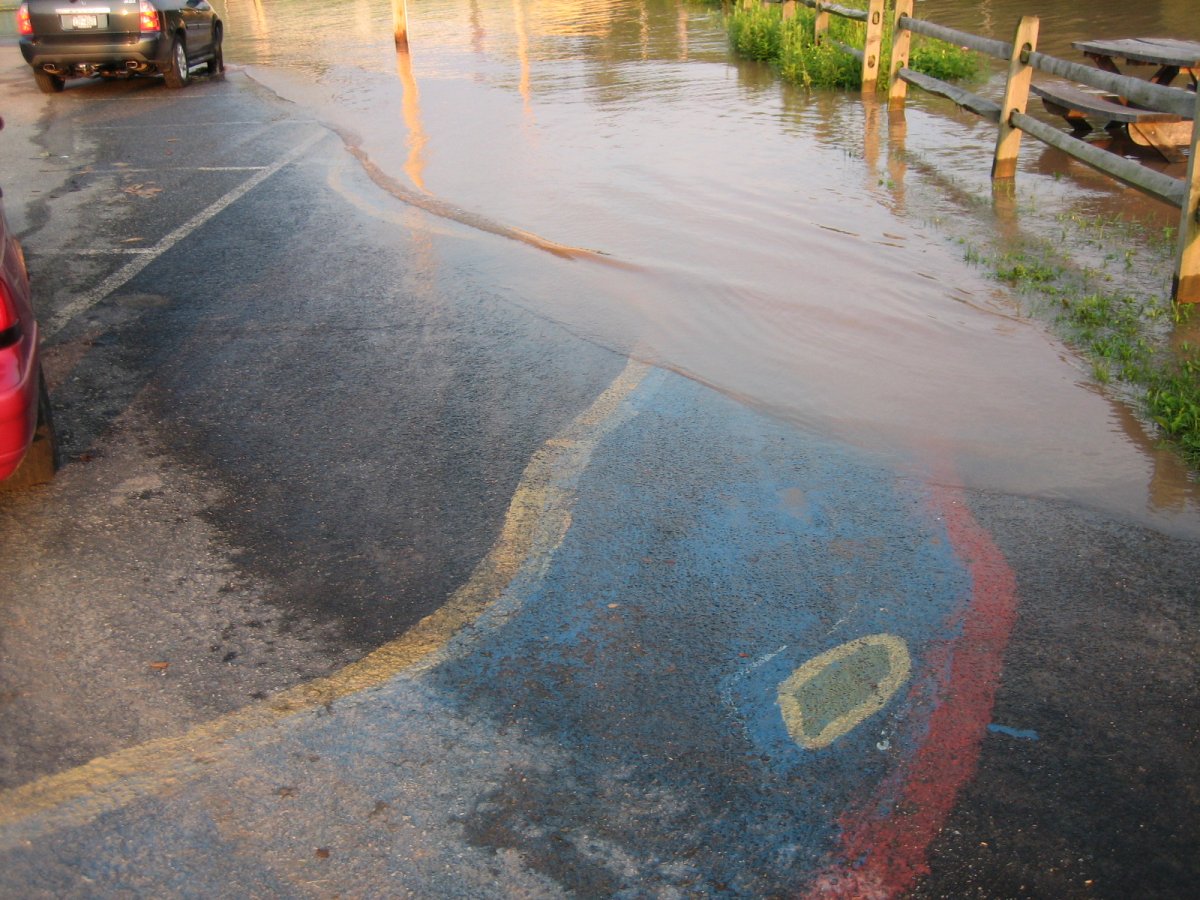
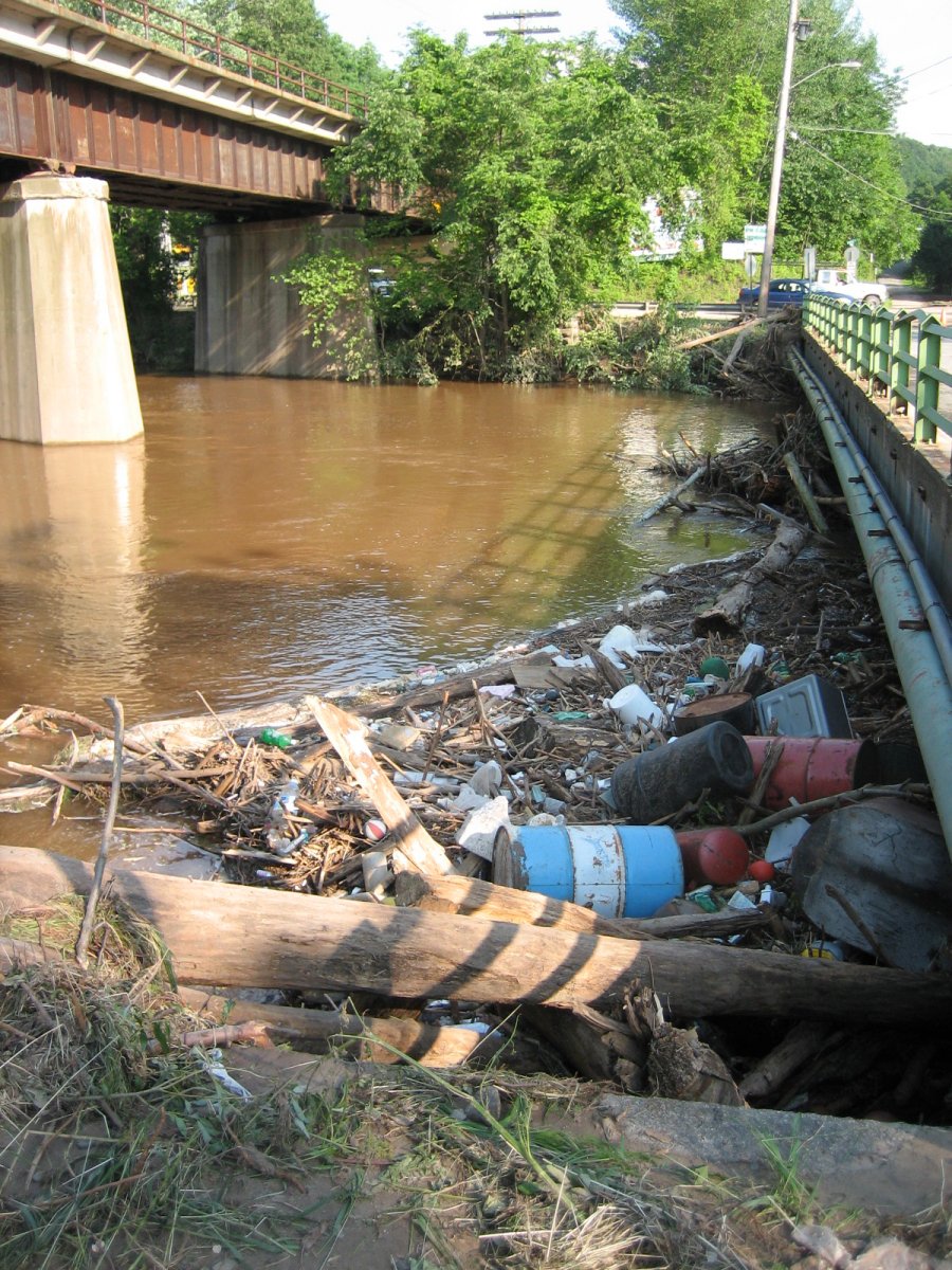
Bridge, 2:36PM. Junk caught on one of the piers (same one I photographed before).
Northeast, 2:37PM.
East, 2:38PM.
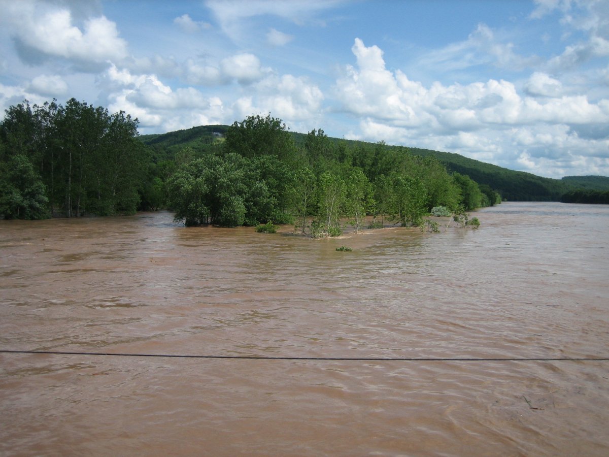
West, 2:39PM. Islands, what islands?

North, 2:40PM. Back of the post office...
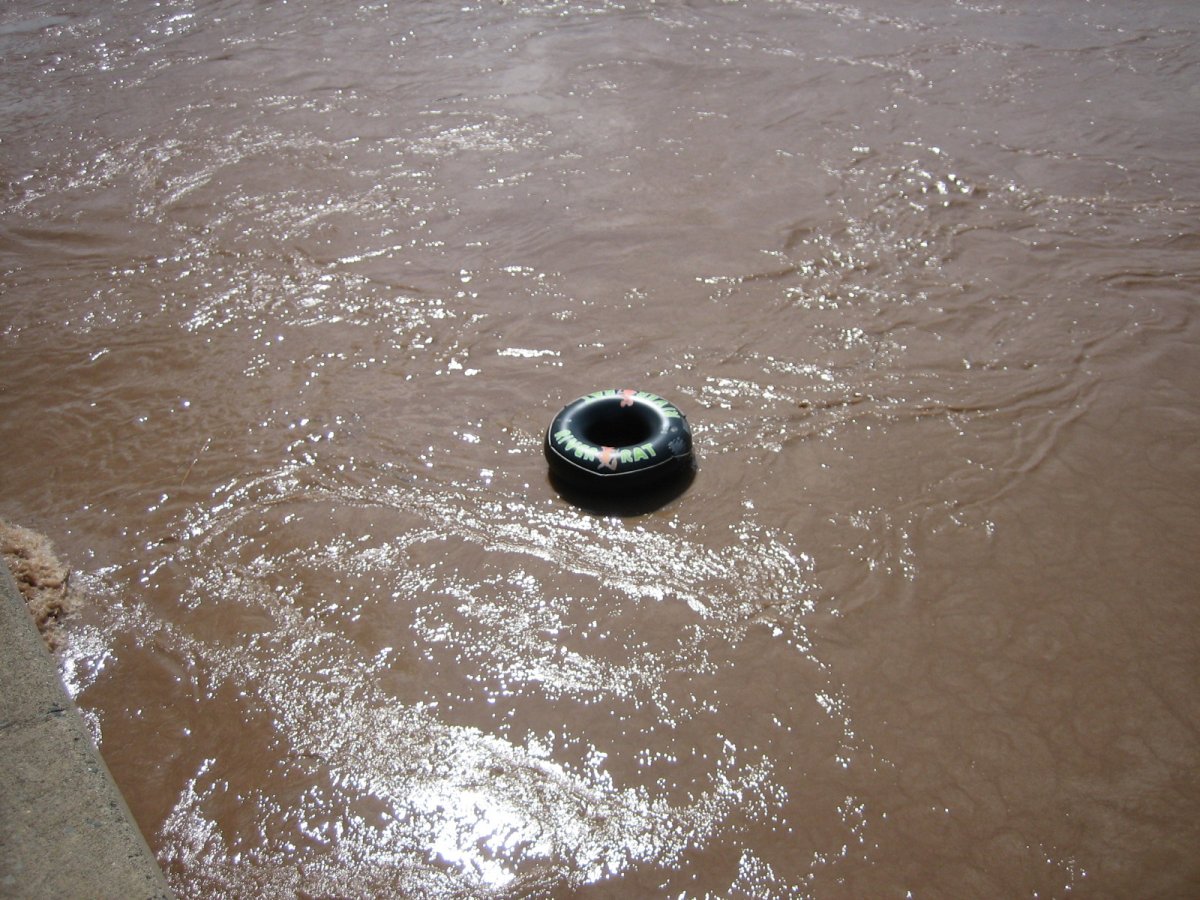
2:41PM. lol River Rat.

North-east-east, 2:42PM. Landers' area. There's a sharp drop on the near side of that guard-rail by the way. NOT LIKE YOU CAN TELL HUH.

East, 2:43PM. Eh, land, what land, let's just call it Waterworld..

Southeast, 2:46PM.
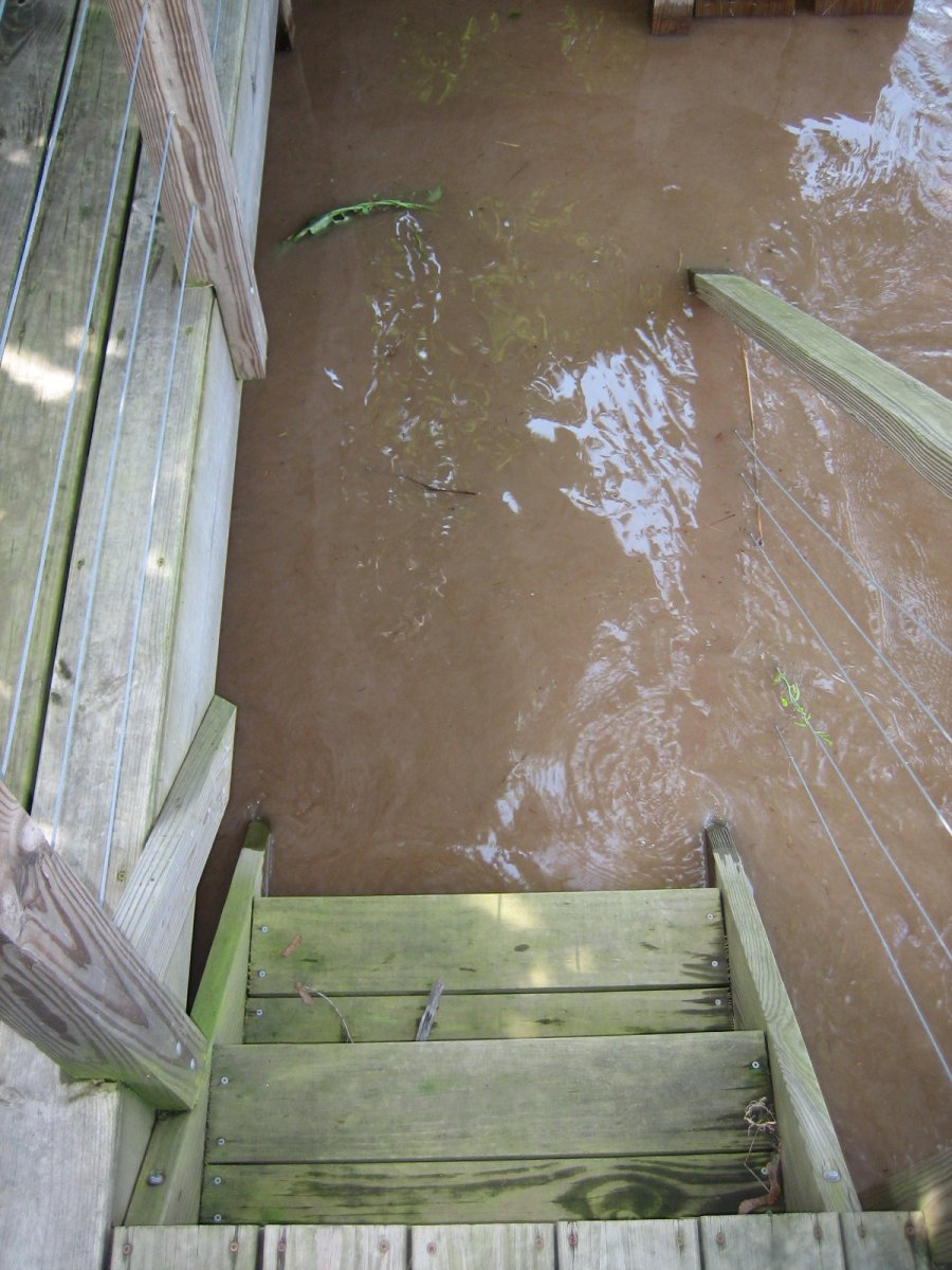
Deck-ometer, 2:51PM. It went back up a stair. =(

East, from the deck, 2:53PM. I am /amazed/ that the sign proclaiming 'CALLICOON' to any passing boaters survived the flood intact. I heard that a few trees nearly hit it, but clearly nothing took it out. :O
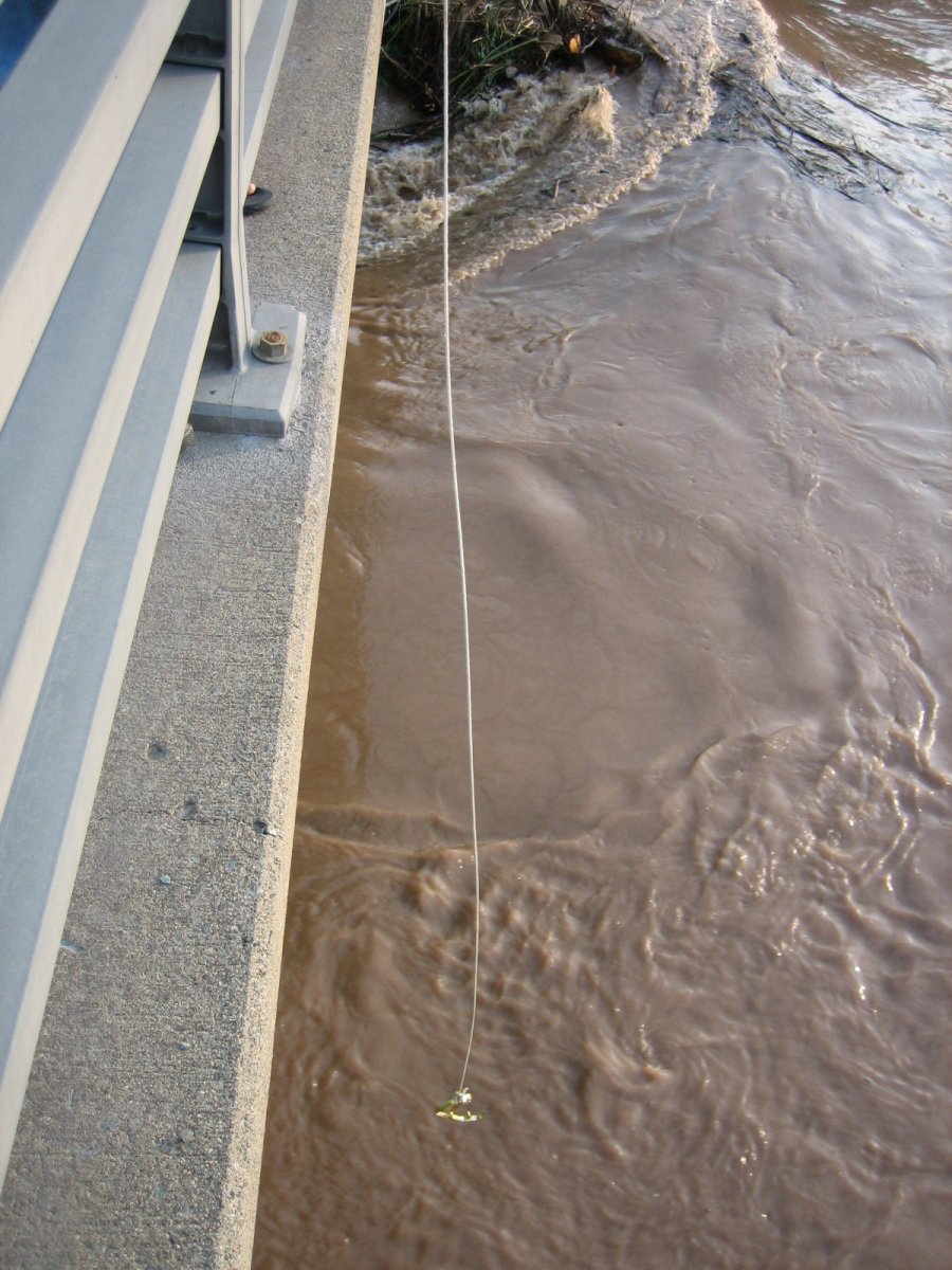
6:13PM. This hook was used to try and fish stuff out of the river! It was fun. :D
"Hey, think you can grab me one of those chairs?"
He never did though. :(
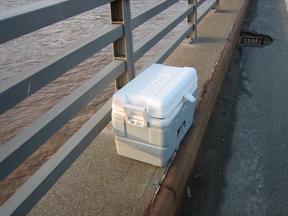
6:26PM. The hook weilder's dad had better luck -- he fished this cooler out of the river!
West, 6:28PM. (Also uploaded here on DeviantArt)
East, 6:31PM.
South-west-west, 6:35PM. I finally headed over to the northwestern side of Callicoon. Here's the back edge of the post office.
Northwest, 6:36PM. I didn't get far (the post office is to my left).
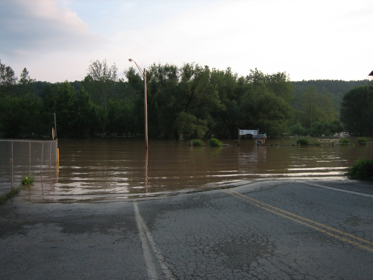
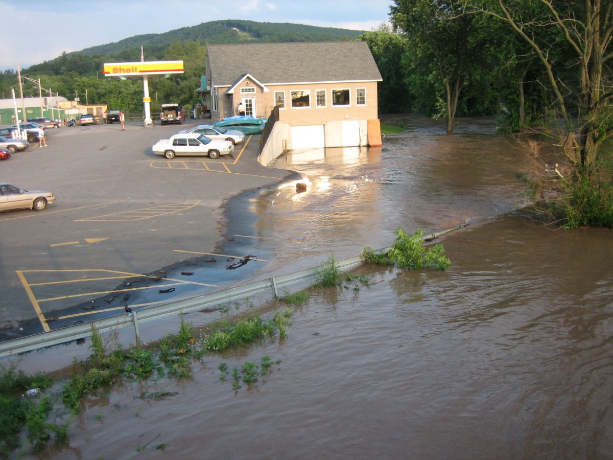
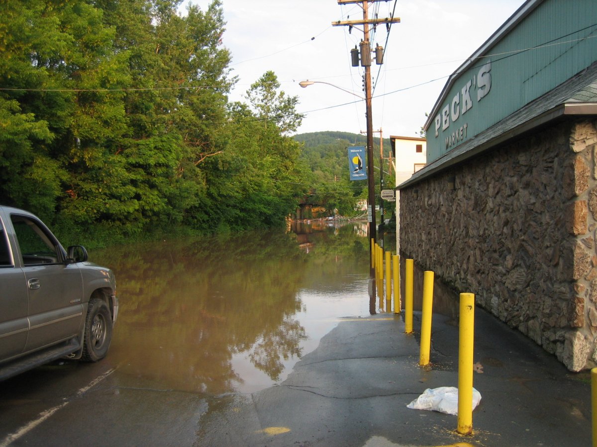
South, 6:45PM. Back to the other side of town. A. Dorrer Drive near Pecks. Here I started noticing an odd lime-esque scent on the breeze occasionally...
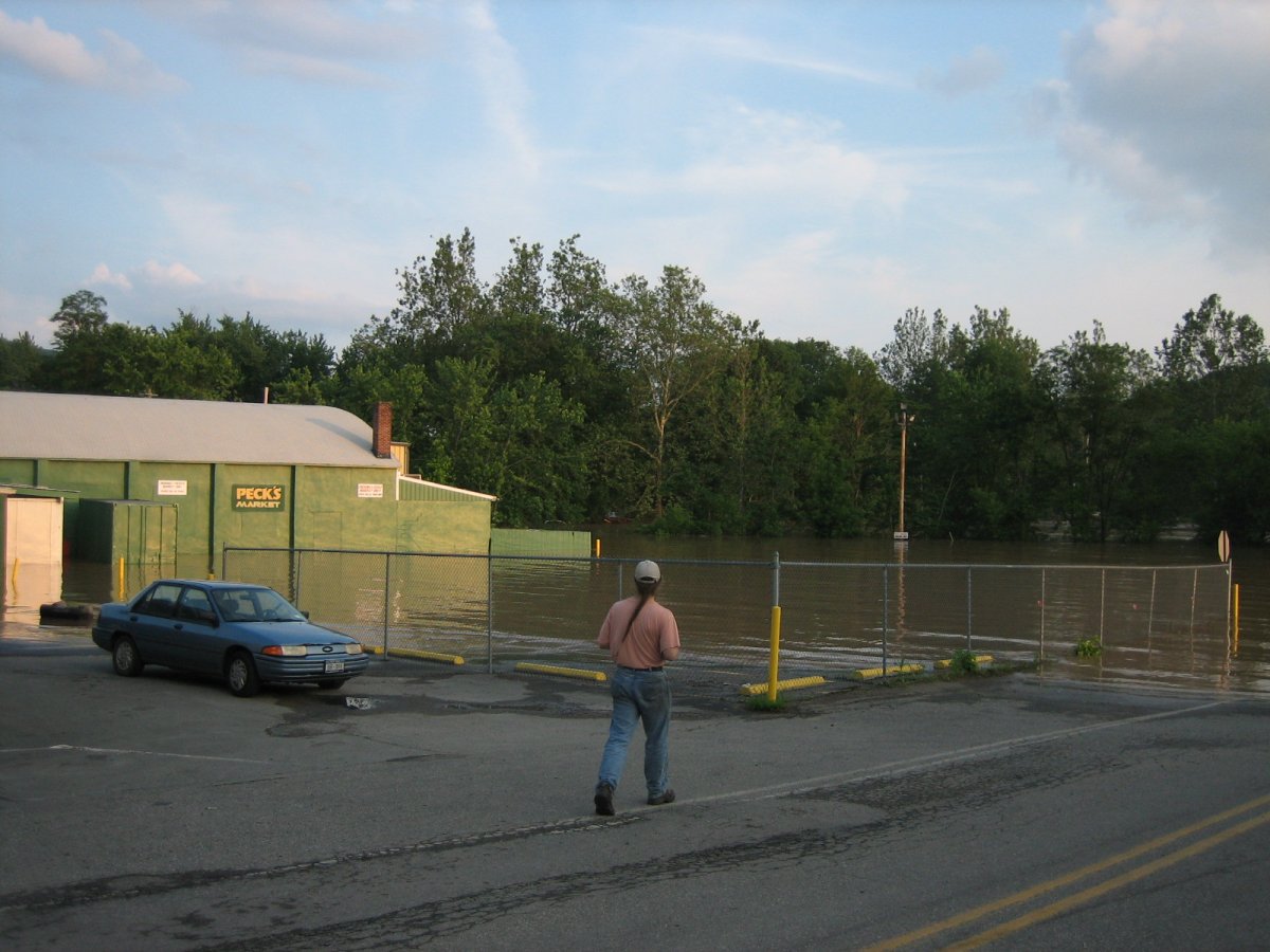
Southeast, 6:45PM. Pecks parking lot, totally underwater, and my dad.

South, 6:45PM. ...Waterpark? Or just remove the 'park' and it's correct...
East, 6:46PM. Poor Pecks.
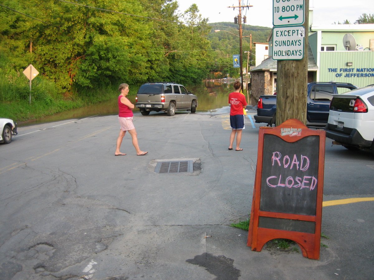
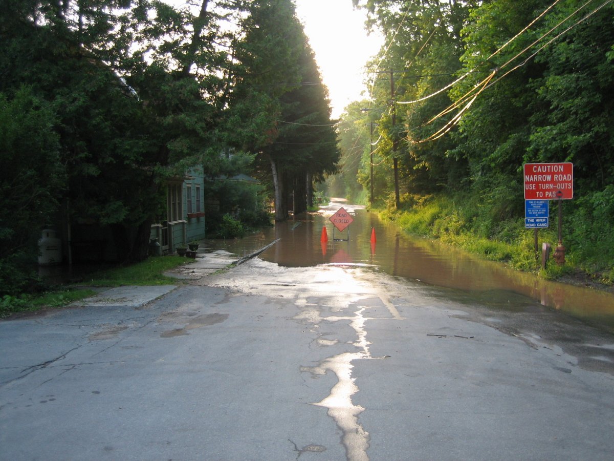
East, 6:50PM. PSA: Road Closed. Sign courtesy of Matthew's on Main.
East, 6:47PM. No, seriously, you're not going any further.
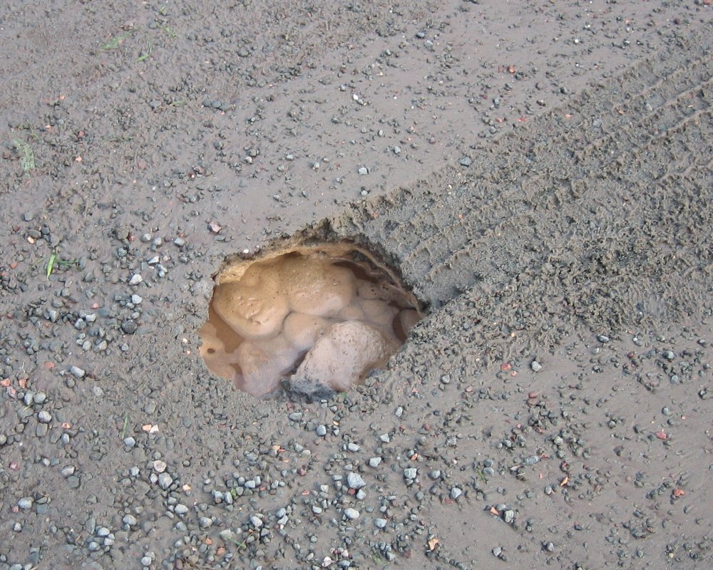
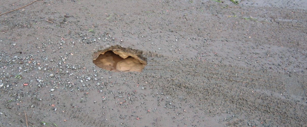
In one of the parking lots along A. Dorrer Drive, 6:51PM. Some guy moved his pickup truck and this hole appeared where his tire had been! WTF!
A. Dorrer Drive, 6:52PM. It /has/ gone down, though.
A. Dorrer Drive, 6:53PM. Onoes, the painted river is flooding. =(
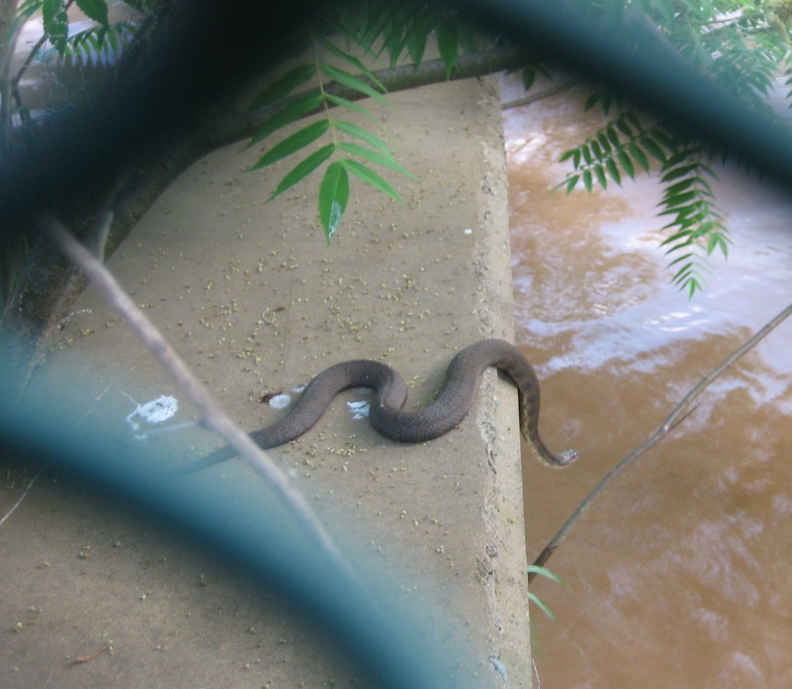
6:55PM; we saw this snake! Shortly after this photo, it jumped into the water and we didn't see it again. (Photo taken through a fence, hence the funky foreground.)
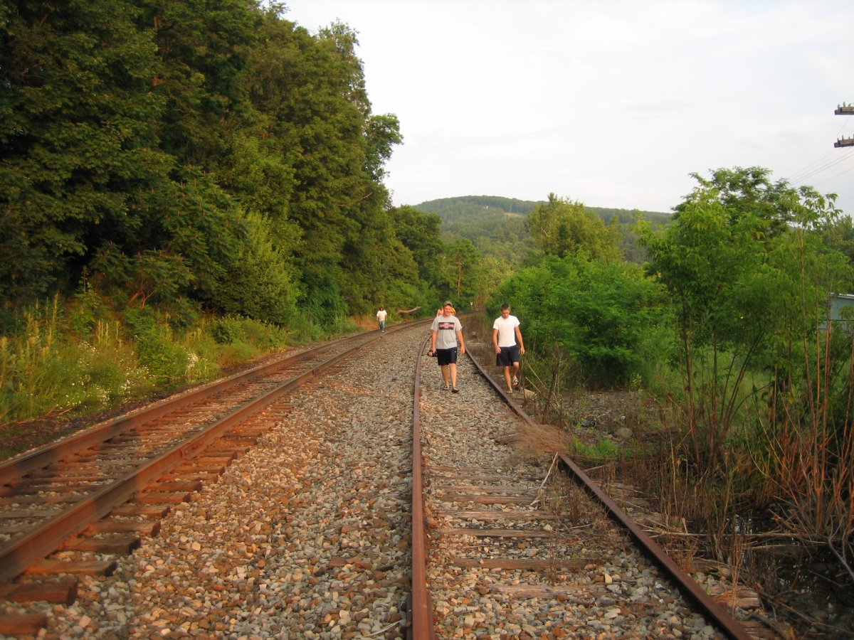
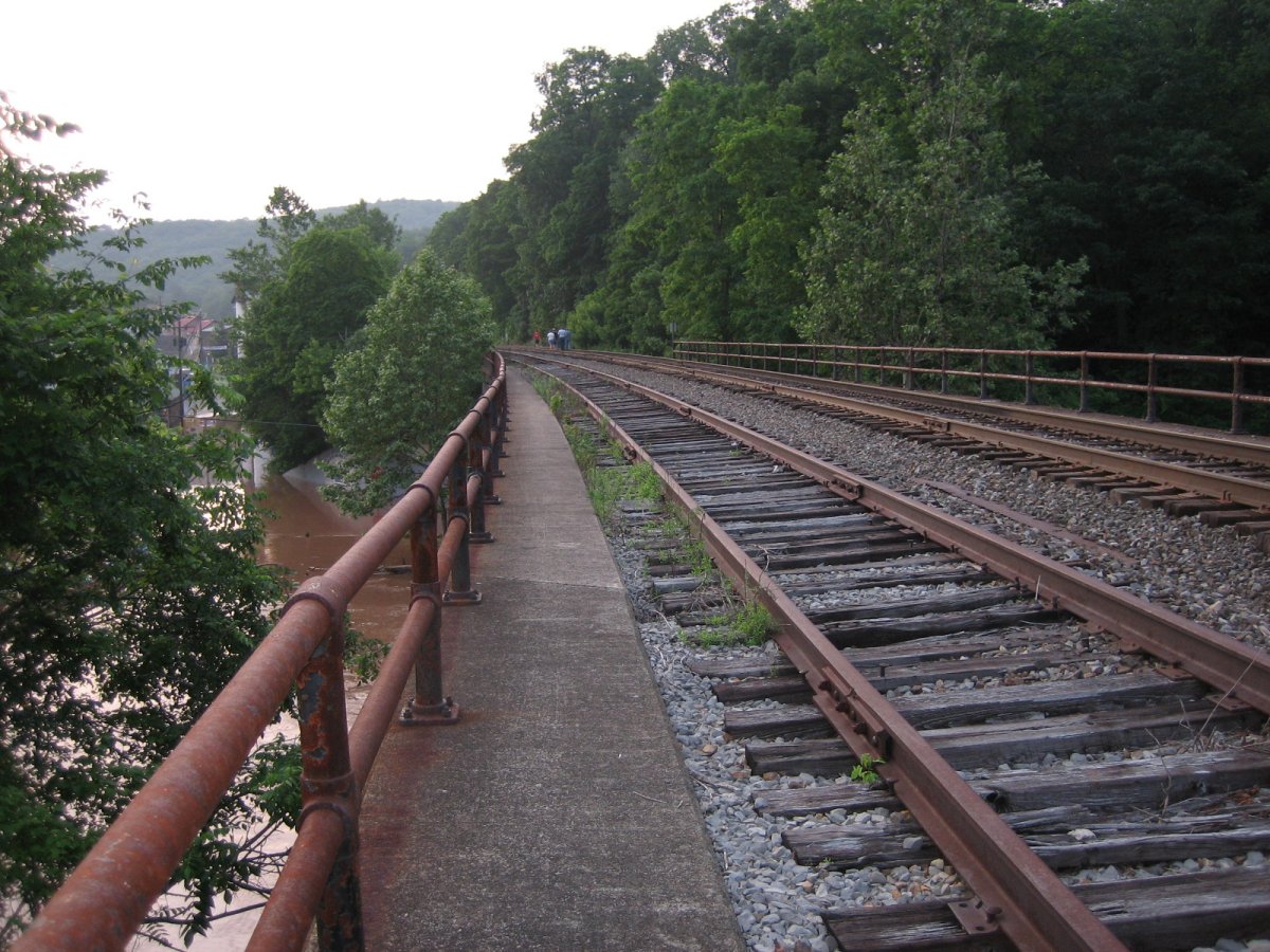
East, Railway, 6:59PM. In order to see how things looked on the other side of the flooded creek bridge, we went up onto the railroad's bridge; it's not like any trains could come run us over, right? Anyway, we weren't alone in our adventures.
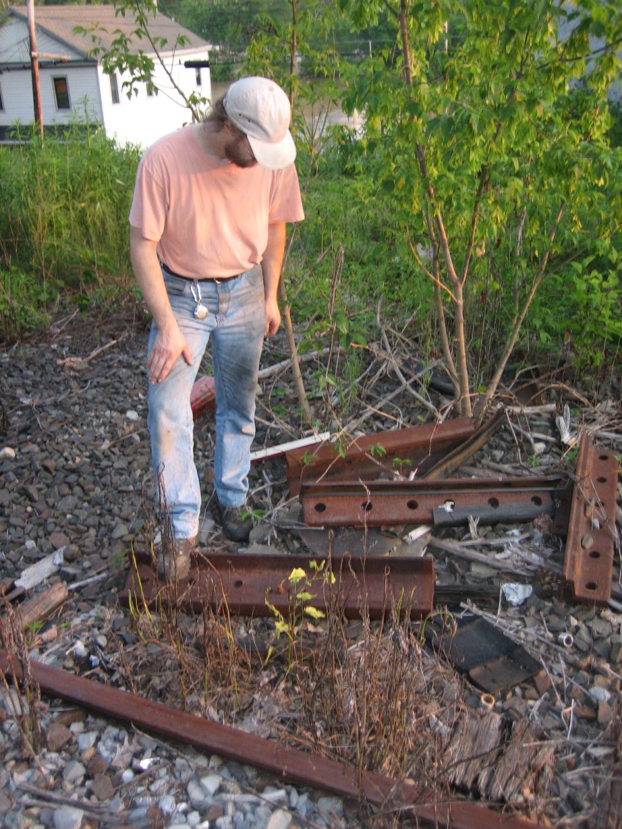
Railway, 6:59PM. Heeey, abandoned railroad stuff.

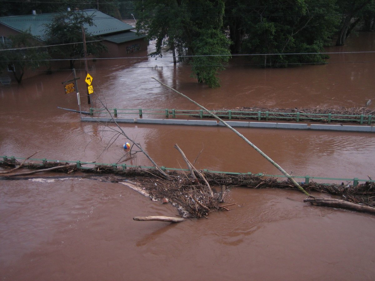
Southeast, from railbridge, 7:03PM. /Dang/ that's a lot of crap.
Note the beachball.
South, from railbridge, 7:03PM. So... can /you/ see tell where the roads are?
Northeast, from railbridge, 7:04PM. The icecream stand is just barely in the safezone! :O
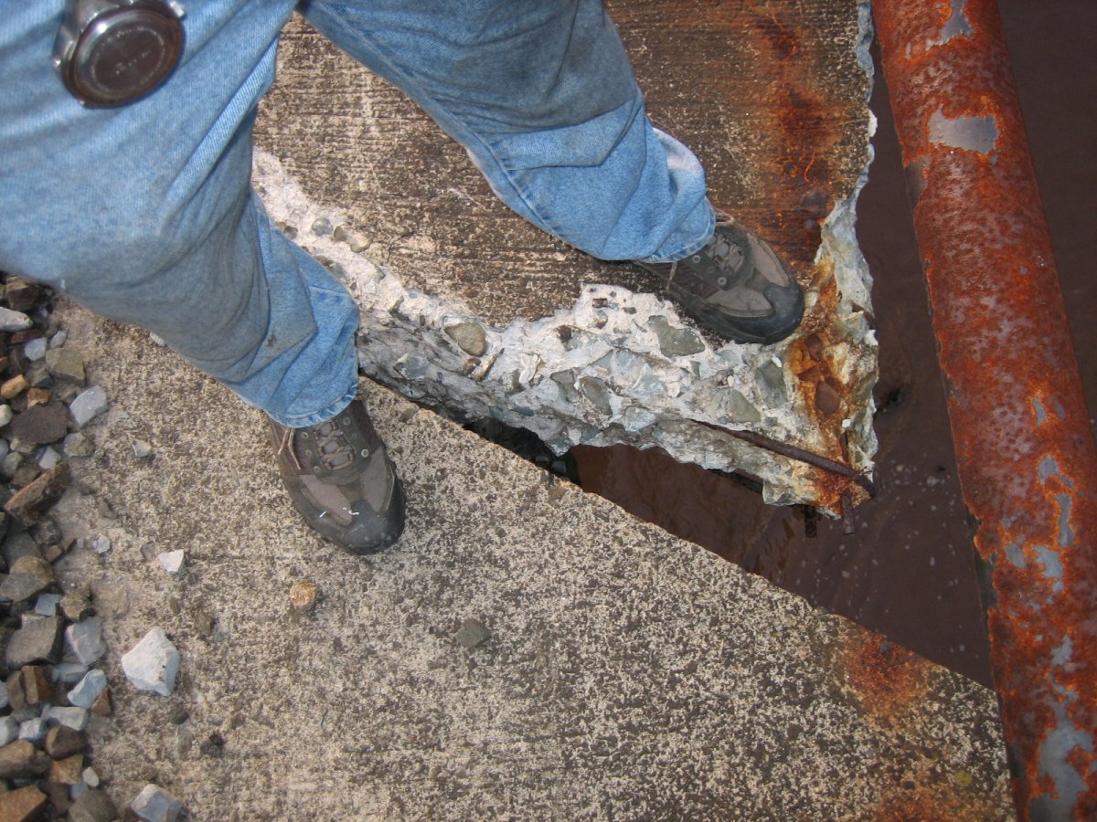
Railbridge, 7:05PM. The bridge is not very pedestrian-friendly. Watch your step. :o
North, from railbridge, 7:05PM. Back of the ice-cream stand...
Northeast, from railbridge, 7:06PM. It /stank/ up on the bridge, and the reason why is up that road.
South, 7:11PM. And there is the reason for the smell. .___.
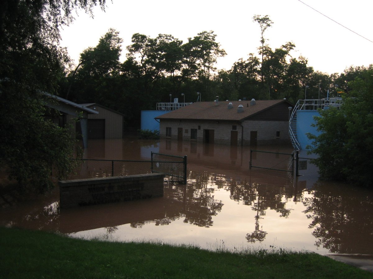
South, 7:11PM. Town of Callicoon Wastewater Treatment Facility. :x
West, 7:11PM. And there's the road... We got here by getting off the railroad next to Agway, then walking down.
The bridge at the upper-right is Route 97.

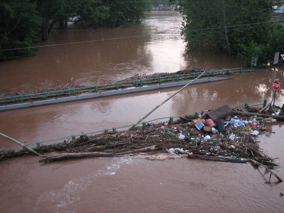
South, 7:17PM. Back up on the railbridge, noting the oil slick and moved beachball.
Northwest, railbridge, 7:18PM. It makes a nice vantage point.

Southwest, from the railbridge, 7:20PM. Esso tank! Esso was Exxon before it was Exxon, so that's an old tank.
South, from the railbridge, 7:20PM. How'd those trees get crammed into the guardrail like that? o.o
West, from the railbridge, 7:21PM. The Sullivan County Democrat, one of the local newspapers.
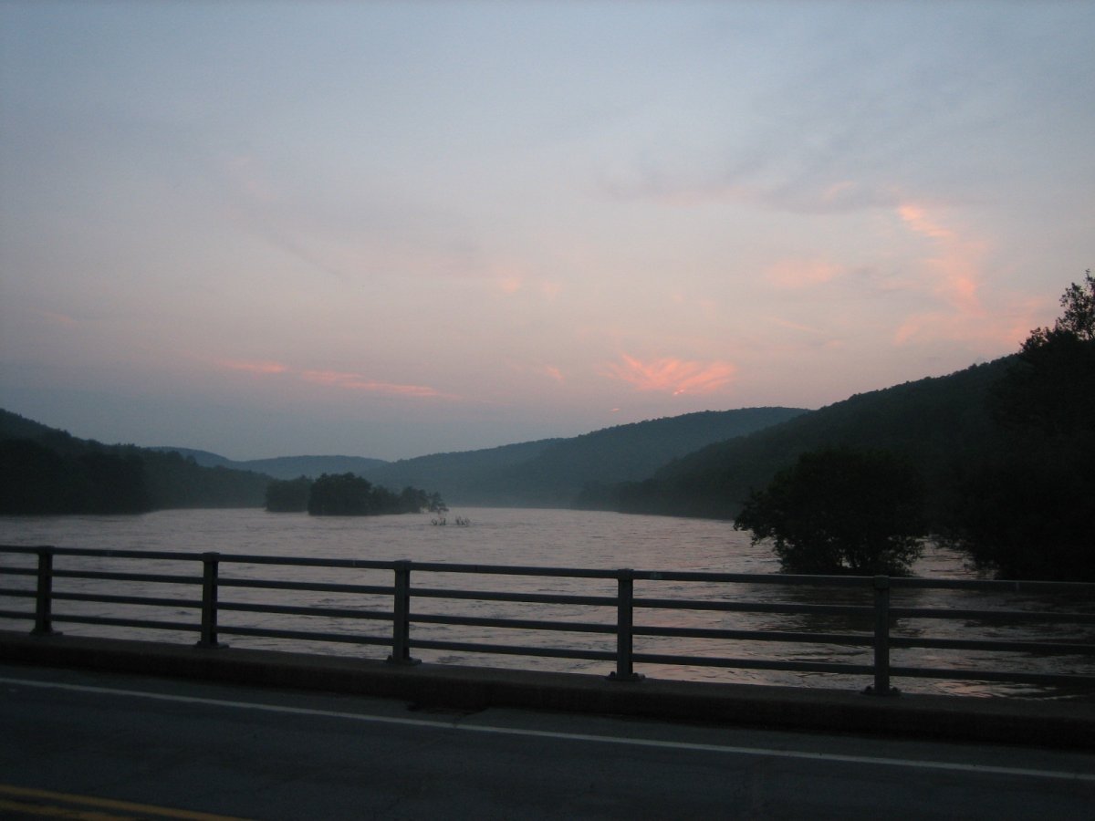
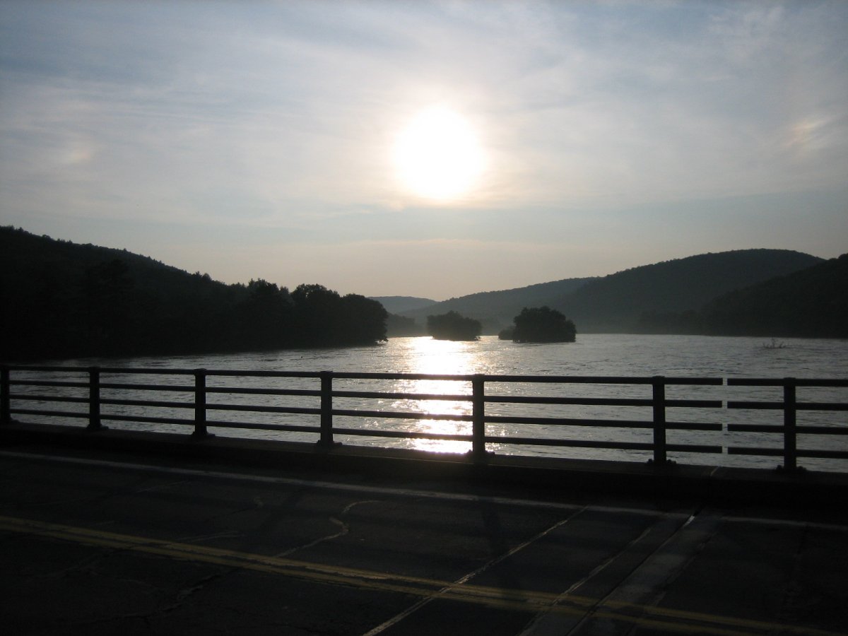
Northwest, 7:44PM. No log of mine is complete without at least one sunset photo. ;o
I have a quick little video showing the PA side of the bridge-intersection here.

Deck-ometer, 10:23PM.
June 29th
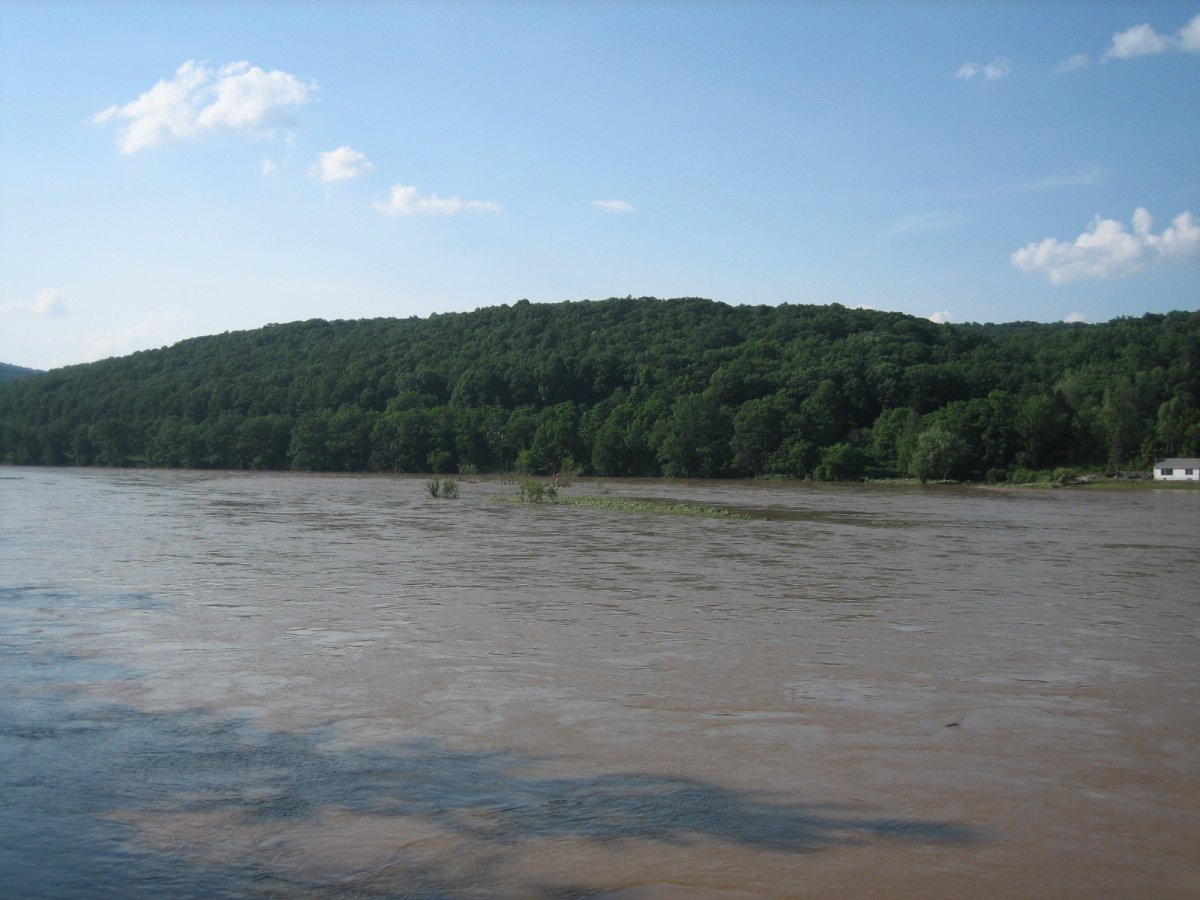
North, 4:44PM. ZOMG I SEE ISLANDS!
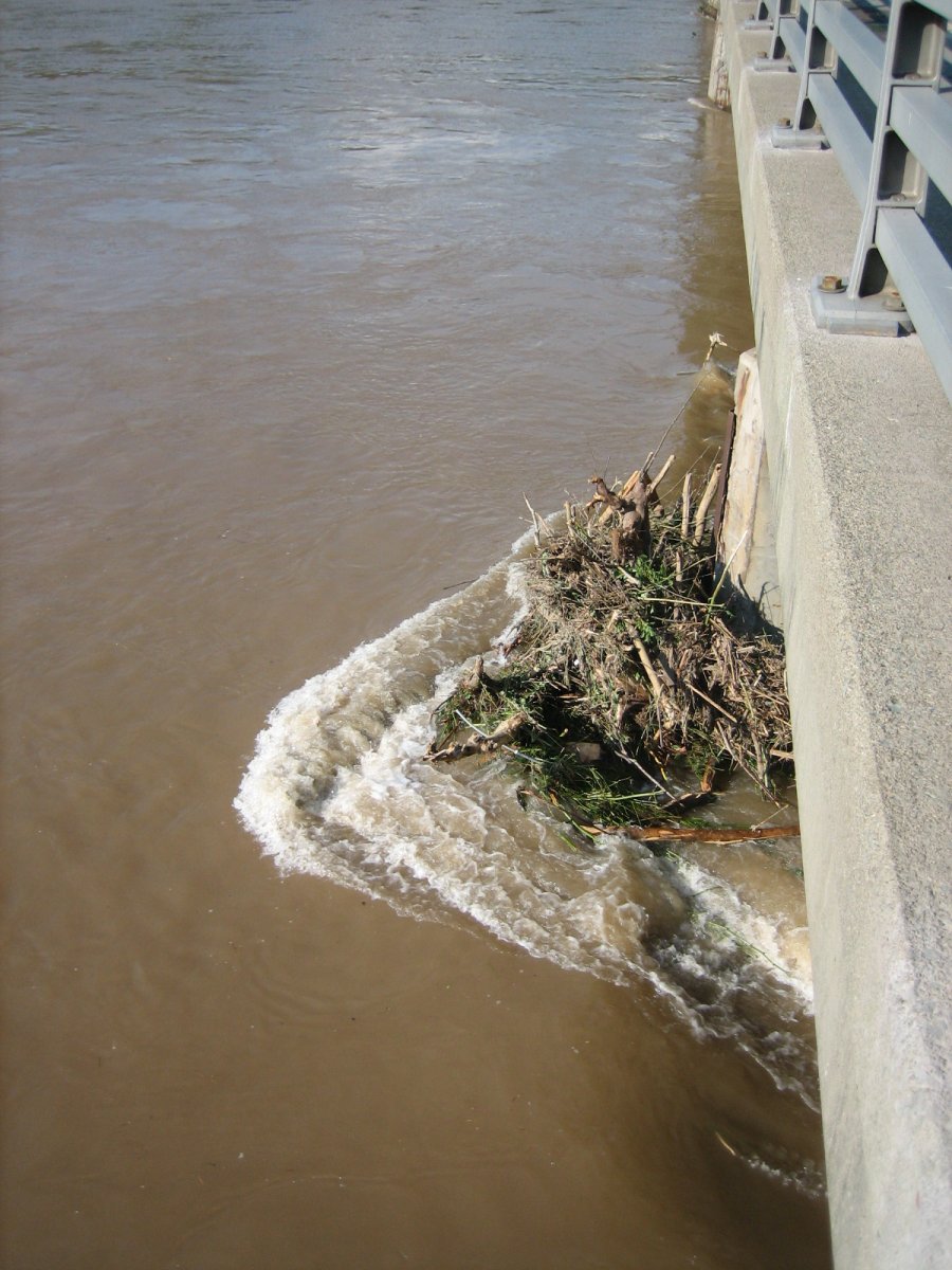
4:45PM. Woot, pier junk. XP
East, 4:46PM. Zomg, trees!
Northeast, 4:46PM.
Northeast, 4:46PM. Hay look, the bridge is above water!
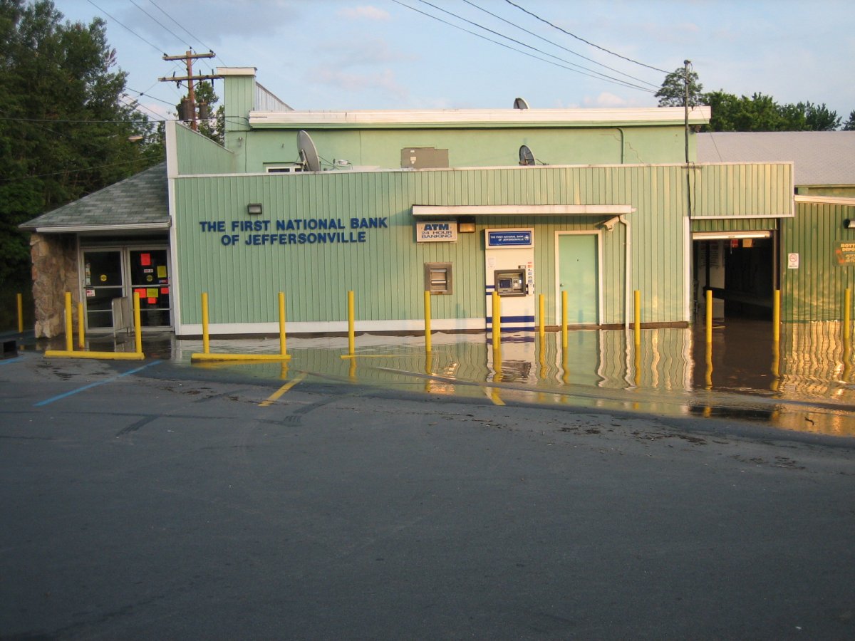
East, 4:51PM. Pecks!
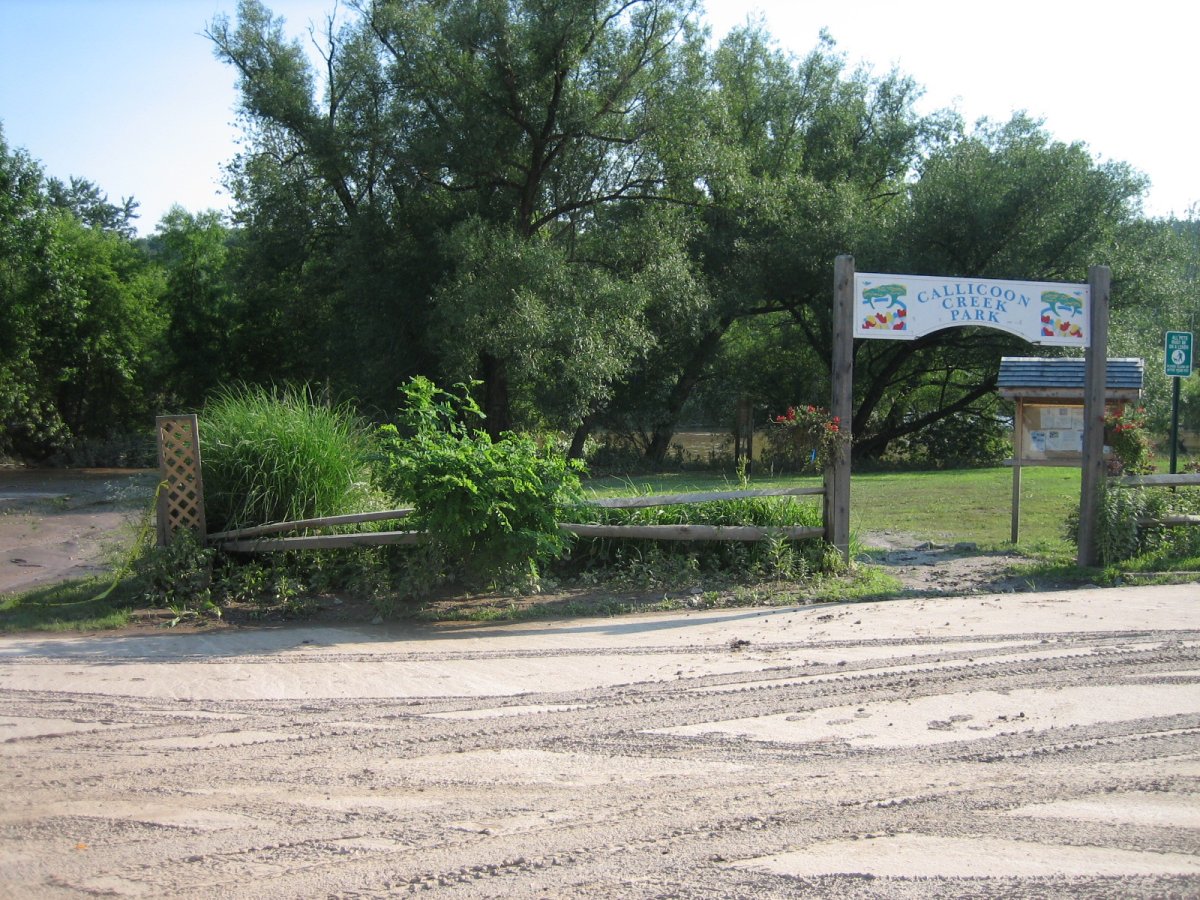
South, 4:52PM. The park is a park once more!

Pecks sign, 4:55PM:
"Store Closed Until Further Notice!
Narrowsburg & Elred (sic, it got fixed later) are open for business
same hours
*DONT ENTER THE STORE!"
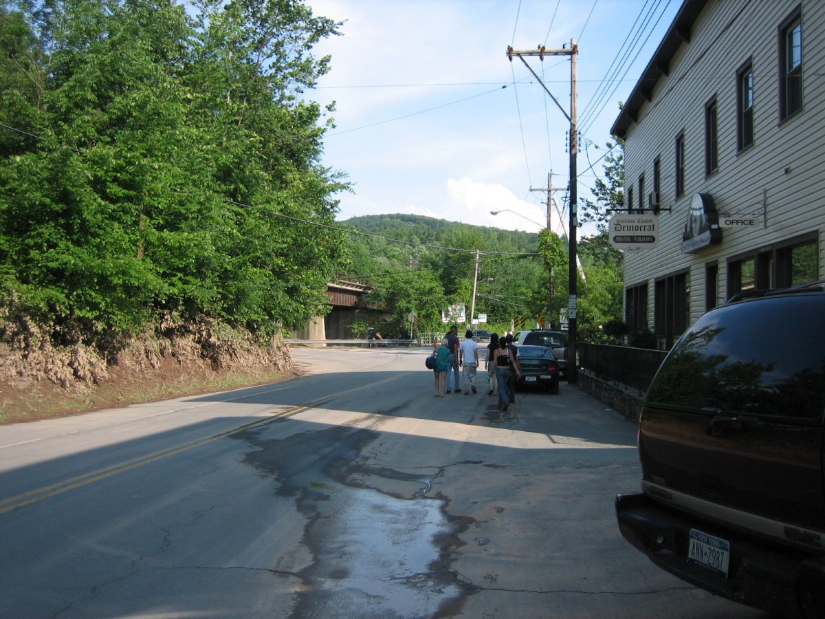
East, 4:55PM. The street is back!!

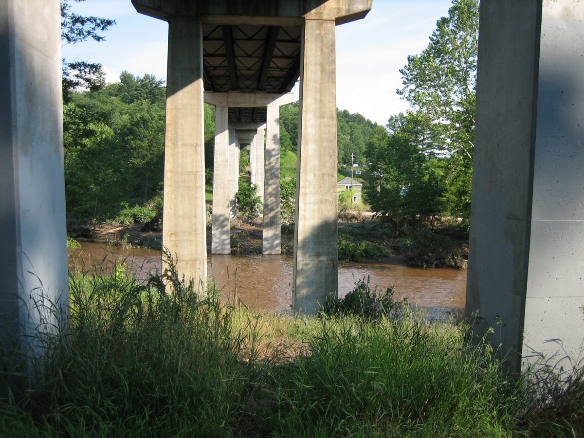
East, 4:57PM. The Creek went down really fast. 6.6
4:57PM: The Esso tank is still there though. =o
East, from 17B, 5:03PM. To the right is the Treatment Facility, now back above water. Nice shot of Route 97's bridge, though.
East, on River Road, Pennsylvania, 5:22PM. River Road is still wet in places and muddy most everywhere.
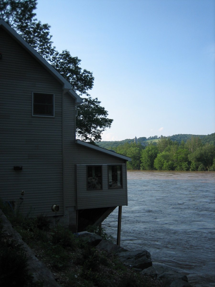
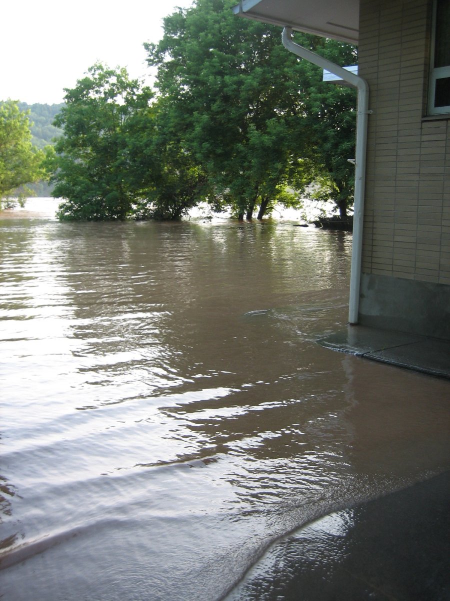
River Road, PA, 5:25PM. This house's owners told my mom and I that their basement got wet, that's all.
Our own basement, meanwhile, had gotten more water from lesser storms.
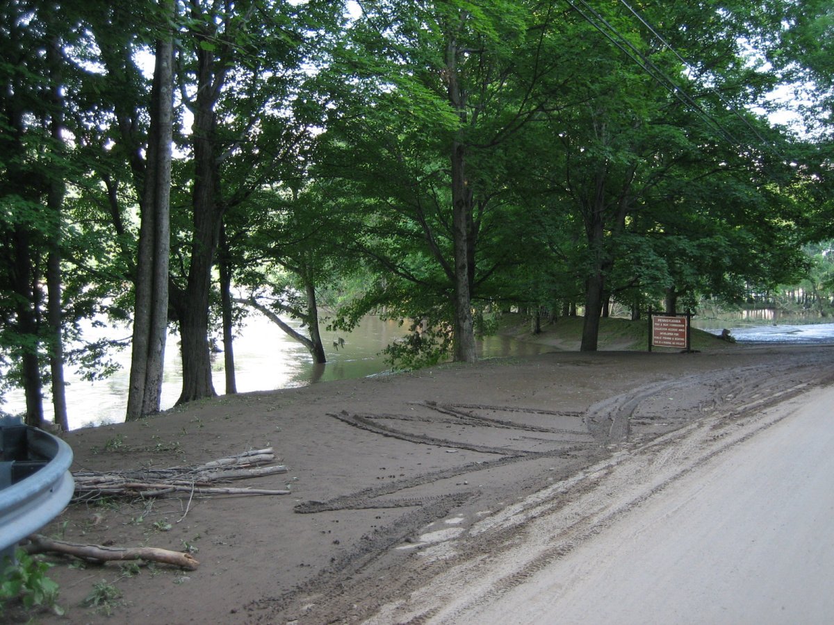
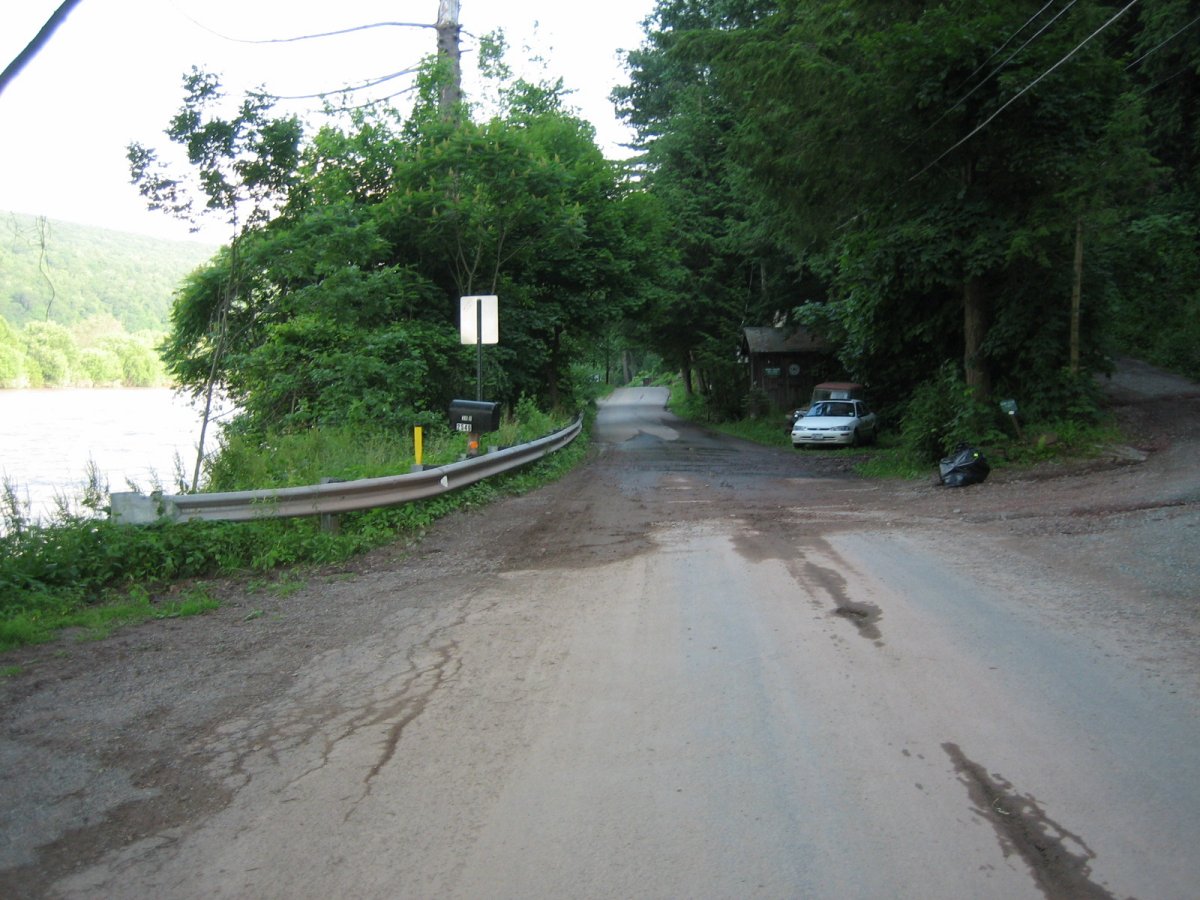
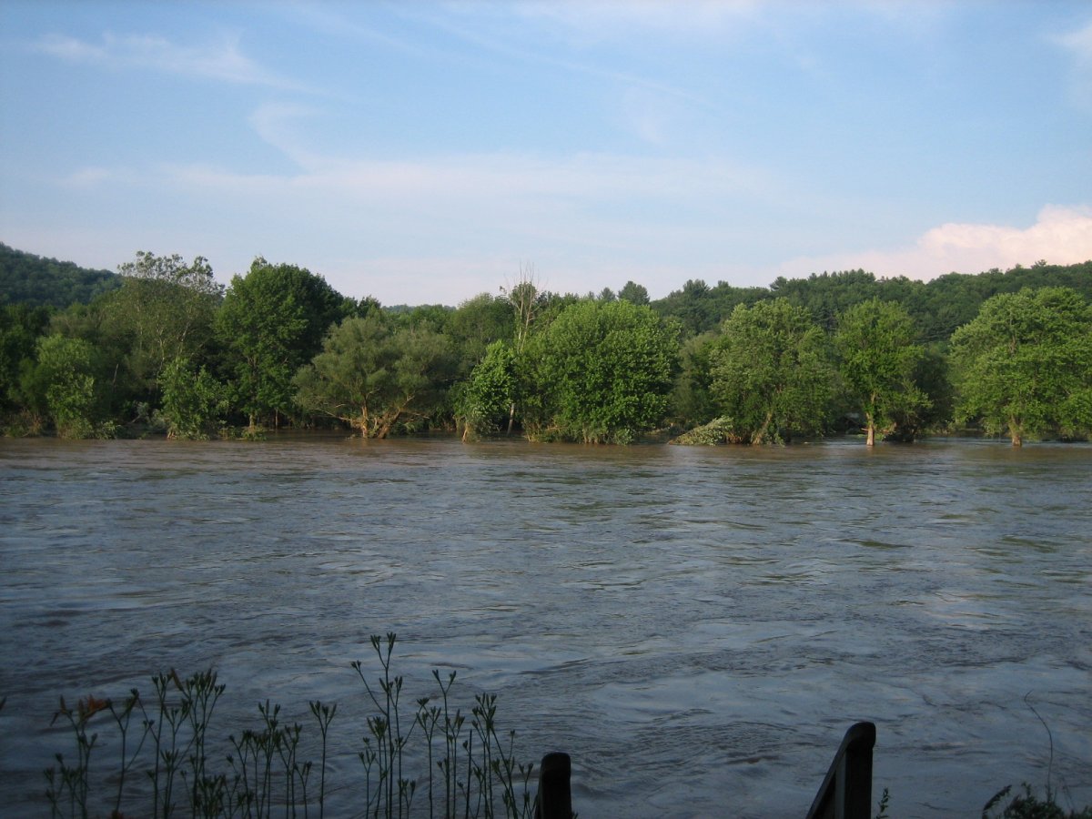
East, River Road, PA, 5:31PM. The Fishing Access is still mostly underwater...
Also, nifty-patterned tire tracks.
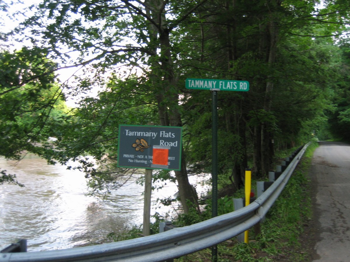
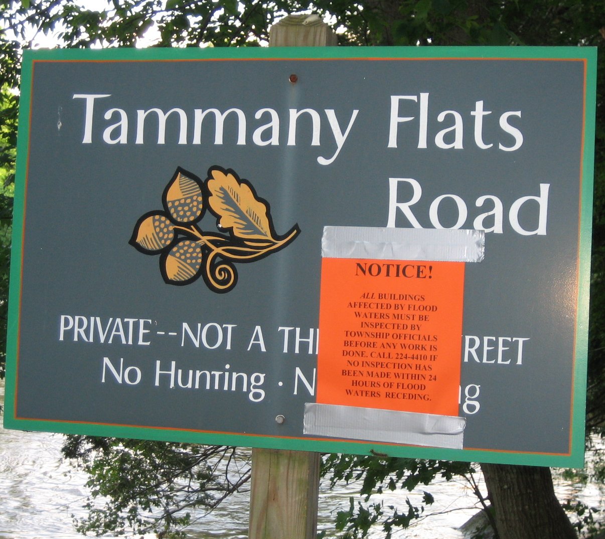
East, River Road, PA, 5:36PM. This is the entrance to Tamany Flats, which was especially pwned by the flooding. :/
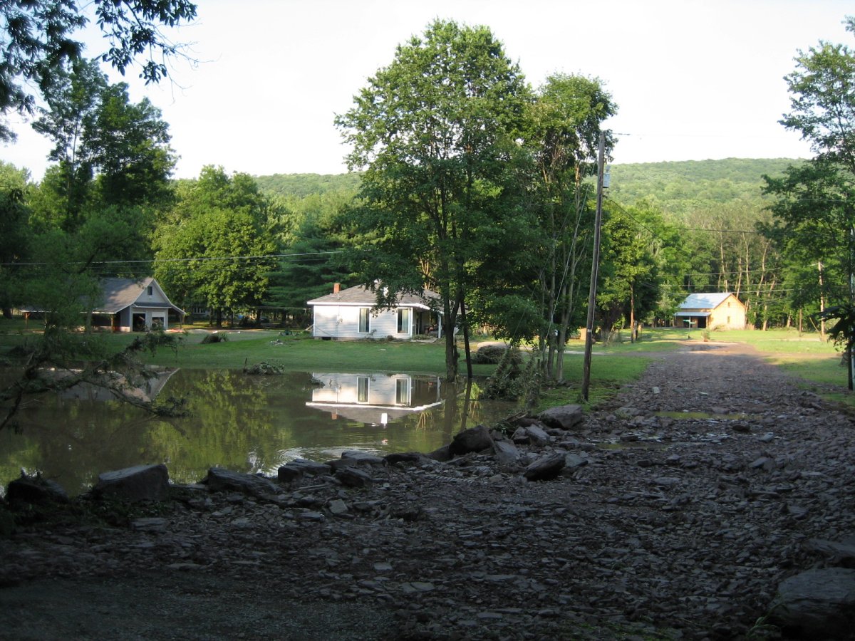
North, 5:36PM. It doesn't look so bad from the road, externally. :<
North, 6:04PM. It's a good thing the guy who bought the campground hadn't tried to fix it up from last year's floods. :x
That's all!
...Until next flood. -.-